Inscription
Struggle in the Snow
— Jackson's Bath-Romney Campaign —
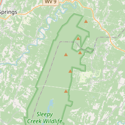
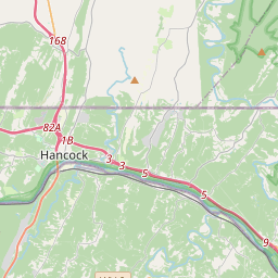
(Preface): On January 1, 1862, Confederate Gen. Thomas J. "Stonewall" Jackson led four brigades west from Winchester, Va., to secure Romney in the fertile South Branch Valley on the North Western Turnpike. He attacked and occupied Bath on January 4 and shelled Hancock, Md.; he marched into Romney on January 14. Despite atrocious winter weather, Jackson's men destroyed telegraph lines and 100 miles of Baltimore and Ohio Railroad track. Leaving Gen. William W. Loring's brigades in Romney, Jackson led the Stonewall Brigade back to Winchester on January 23. Loring followed on January 31, and the Federals reoccupied Romney on February 7.At about 10:00 A.M. on January 4, 1862, terrified civilians in Bath (present-day Berkeley Springs) heard the booming of the 4th U.S. Artillery's guns on Warm Springs Mountain (in front of you). Soon, the crackling of musketry from three companies of the 39th Illinois Infantry joined in as Confederate Gen. Thomas J. "Stonewall" Jackson's 8,500 men attacked. Facing twenty times their number, the untested Illinois men had an important ally: wind, freezing temperatures, and more than four inches of snow.
Artillery fire, sharp skirmishing, and the difficulty of maneuvering in the snow delayed the Confederate advance for hours. Hoping to capture the Federal garrison, Jackson deployed units to outflank the town while the main body advanced down the road into Bath. Snow and determined resistance delayed his complicated battle plan.
The first Confederate casualty may have been Pvt. William Sybert, 48th Virginia Infantry, who fell in the snow and broke his ankle. The 39th Illinois broke contact shortly before 2:00 P.M. and escaped to Sir Johns Run and Hancock. Jackson pressed on, attacking other companies of the 39th Illinois at Great Cacapon, Sir Johns Run, and Alpine opposite Hancock, but garnering few prisoners. With the Federals pushed across the Potomac River, Jackson could now march west to Romney.
Details
| HM Number | HM13SO |
|---|---|
| Series | This marker is part of the West Virginia Civil War Trails series |
| Tags | |
| Placed By | West Virginia Civil War Trails |
| Marker Condition | No reports yet |
| Date Added | Saturday, September 20th, 2014 at 11:19am PDT -07:00 |
Pictures
Locationbig map


| UTM (WGS84 Datum) | 17S E 737969 N 4389999 |
|---|---|
| Decimal Degrees | 39.62670000, -78.22740000 |
| Degrees and Decimal Minutes | N 39° 37.602', W 78° 13.644' |
| Degrees, Minutes and Seconds | 39° 37' 36.12" N, 78° 13' 38.64" W |
| Driving Directions | Google Maps |
| Area Code(s) | 304 |
| Closest Postal Address | At or near 250-298 County Rte 9/9, Berkeley Springs WV 25411, US |
| Alternative Maps | Google Maps, MapQuest, Bing Maps, Yahoo Maps, MSR Maps, OpenCycleMap, MyTopo Maps, OpenStreetMap |
Is this marker missing? Are the coordinates wrong? Do you have additional information that you would like to share with us? If so, check in.
Nearby Markersshow on map
Show me all markers in: Berkeley Springs, WV | Morgan County | 25411 | West Virginia | United States of America
Morgan County Veteran's Monument
Campaign in the Snow
The Sons and Daughters of Morgan County
Berkeley Springs / James Rumsey
William Herbert / Dr. John Meade Travers
Frederick Conrad / Robert Rutherford
James Muir
William Ramsey and James Stuart
A Castle Built for Love
Henry Whiting, Angus McDonald, Jane and Katherine Dalton, Angust McDonald
Maintenance Issues
- What historical period does the marker represent?
- What historical place does the marker represent?
- What type of marker is it?
- What class is the marker?
- What style is the marker?
- Does the marker have a number?
- What year was the marker erected?
- This marker needs at least one picture.
- Can this marker be seen from the road?
- Is the marker in the median?

Comments 0 comments