Inscription
Brig. Gen. Nathan B. Forrest.
— Sept. 20, 1863 —
Brig. Gen. Nathan B. Forrest.
Sept. 20, 1863
Armstrong's Division - Brig. Gen. Frank C. Armstrong.
Pegram's Division - Brig Gen. John Pegram.
This Corps, except Scott's Brigade of Pegram's Division, was formed on the right of Breckinridge's Division and ordered to move forward with it. Armstrong's Division was dismounted, except a small force, and Pegram was in reserve to the right and rear. Upon moving forward, the mounted force of Armstrong's Division reached and crossed the LaFayette Road capturing the Union hospitals in the vicinity of Cloud's house. About 1 P.M. these hospitals were recaptured by the advance of Granger's Reserve Corps approaching the field from McAfee's Church. This latter column was shelled vigorously from Forrest's position, but without seriously delaying its advance. After Granger's column had passed on toward Thomas' position on Snodgrass Hill, Forrest reoccupied the Lafayette Road and held it until attacked by Turchin's Brigade of Reynold's Division near the close of the battle.
Details
| HM Number | HM15KW |
|---|---|
| Tags | |
| Placed By | Chickamauga-Chattanooga National Battlefield Commission |
| Marker Condition | No reports yet |
| Date Added | Tuesday, September 30th, 2014 at 4:46pm PDT -07:00 |
Pictures
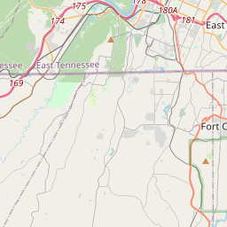
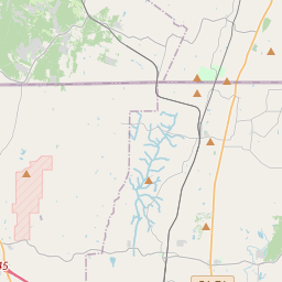
Locationbig map


| UTM (WGS84 Datum) | 16S E 658868 N 3869189 |
|---|---|
| Decimal Degrees | 34.95278333, -85.26010000 |
| Degrees and Decimal Minutes | N 34° 57.167', W 85° 15.606' |
| Degrees, Minutes and Seconds | 34° 57' 10.02" N, 85° 15' 36.36" W |
| Driving Directions | Google Maps |
| Area Code(s) | 706 |
| Closest Postal Address | At or near 1947 Old Lafayette Rd, Fort Oglethorpe GA 30742, US |
| Alternative Maps | Google Maps, MapQuest, Bing Maps, Yahoo Maps, MSR Maps, OpenCycleMap, MyTopo Maps, OpenStreetMap |
Is this marker missing? Are the coordinates wrong? Do you have additional information that you would like to share with us? If so, check in.
Nearby Markersshow on map
Show me all markers in: Fort Oglethorpe, GA | Catoosa County | 30742 | Georgia | United States of America
Maintenance Issues
- Is this marker part of a series?
- What historical period does the marker represent?
- What historical place does the marker represent?
- What type of marker is it?
- What class is the marker?
- What style is the marker?
- Does the marker have a number?
- What year was the marker erected?
- This marker needs at least one picture.
- Can this marker be seen from the road?
- Is the marker in the median?
Comments 0 comments