Inscription
The Dominguez-Escalante expedition looking for a route between Spanish New Mexico and California were the first white men to enter Utah Valley. They camped a few miles north of this site on September 23, 1776, and spent several days exploring and teaching the Indians.
In 1844 Lt. John C. Fremont whose careful scientific observations led to the definition of the Great Basin, also visited this area. His reports were studied by the Mormons prior to their departure from Illinois in 1846. He noted that "there is good soil and good grass adapted to civilized settlements." A fact which undoubtedly contributed to the choice of the Great Basin as the destination of the Mormon Pioneers.
Despite the general Mormon policy of feeding rather fighting the Indians, a corollary of their settlement on Indians lands in Utah was the frequent loss of life and property among the Indians as well as the white man. Before Congress extinguished the Indian land title and removed local tribes to the Uintah Basin, a 640 acre Indian Farm was established in 1855 near the mouth of the Spanish Fork River in an effort to educate the Indians to sustain themselves through agricultural pursuits.
Details
| HM Number | HM1FAB |
|---|---|
| Tags | |
| Marker Condition | No reports yet |
| Date Added | Thursday, September 4th, 2014 at 8:25am PDT -07:00 |
Pictures
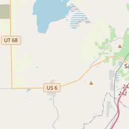
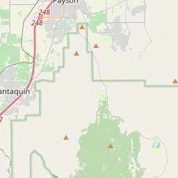
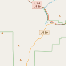
Locationbig map

| UTM (WGS84 Datum) | 12S E 432783 N 4425140 |
|---|---|
| Decimal Degrees | 39.97375000, -111.78715000 |
| Degrees and Decimal Minutes | N 39° 58.425', W 111° 47.229' |
| Degrees, Minutes and Seconds | 39° 58' 25.5" N, 111° 47' 13.74" W |
| Driving Directions | Google Maps |
| Area Code(s) | 801 |
| Which side of the road? | Marker is on the right when traveling East |
| Closest Postal Address | At or near 101-199 S 100 W St, Santaquin UT 84655, US |
| Alternative Maps | Google Maps, MapQuest, Bing Maps, Yahoo Maps, MSR Maps, OpenCycleMap, MyTopo Maps, OpenStreetMap |
Is this marker missing? Are the coordinates wrong? Do you have additional information that you would like to share with us? If so, check in.
Nearby Markersshow on map
Maintenance Issues
- Is this marker part of a series?
- What historical period does the marker represent?
- What historical place does the marker represent?
- What type of marker is it?
- What class is the marker?
- What style is the marker?
- Does the marker have a number?
- What year was the marker erected?
- Who or what organization placed the marker?
- This marker needs at least one picture.
- Can this marker be seen from the road?
- Is the marker in the median?
Comments 0 comments