Inscription
— Commemorative Walkway Park —
During World War II, the federal government set up a secret facility in Los Alamos to coordinate the Manhattan Project, resulting in the development of the first atomic bomb. On July 16, 1945, the atomic bomb was exploded at "Trinity Site" near Alamogordo, New Mexico. Shortly afterwards, two atomic bombs were dropped on Japan and the Japanese surrendered.Details
| HM Number | HM1G0X |
|---|---|
| Tags | |
| Marker Number | 15 |
| Year Placed | 1986 |
| Placed By | The Bataan Veterans of Santa Fe. |
| Marker Condition | No reports yet |
| Date Added | Thursday, September 4th, 2014 at 2:22pm PDT -07:00 |
Pictures
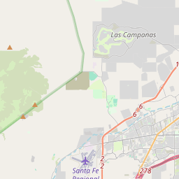
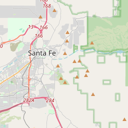
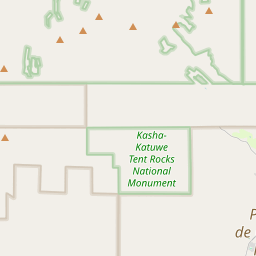
Locationbig map

| UTM (WGS84 Datum) | 13S E 415573 N 3949915 |
|---|---|
| Decimal Degrees | 35.68953333, -105.93308333 |
| Degrees and Decimal Minutes | N 35° 41.372', W 105° 55.985' |
| Degrees, Minutes and Seconds | 35° 41' 22.32" N, 105° 55' 59.1" W |
| Driving Directions | Google Maps |
| Area Code(s) | 505 |
| Closest Postal Address | At or near 611 Paseo De Peralta, Santa Fe NM 87501, US |
| Alternative Maps | Google Maps, MapQuest, Bing Maps, Yahoo Maps, MSR Maps, OpenCycleMap, MyTopo Maps, OpenStreetMap |
Is this marker missing? Are the coordinates wrong? Do you have additional information that you would like to share with us? If so, check in.
Nearby Markersshow on map
Show me all markers in: Santa Fe, NM | Santa Fe County | 87501 | New Mexico | United States of America
Maintenance Issues
- Is this marker part of a series?
- What historical period does the marker represent?
- What historical place does the marker represent?
- What type of marker is it?
- What class is the marker?
- What style is the marker?
- This marker needs at least one picture.
- Can this marker be seen from the road?
- Is the marker in the median?
Comments 0 comments