Inscription
Harriet Tubman Underground Railroad Byway
Harriet Tubman was born nearby on Harrisville Road at the Anthony Thompson plantation around 1822, where Thompson enslaved her father, Ben Ross, and about 40 other people. While Tubman's roots began near here, she moved to Bucktown during her early childhood and returned to the area as a teen. In this place, she felt the nurturing bonds of family, faith and community.
Hired to the Stewart family, Tubman began working with her father in these woods, cutting timber and floating it along Stewart's Canal to Parson's Creek and Madison. Tubman's brothers worked here too. Free black laborers timbered and farmed this land also, establishing a blended community of enslaved and free black families. According to local tradition, this is where Harriet met her free husband, John Tubman.
Following the Civil War, this African-American community established Malone's Methodist Episcopal Church, named after Jeremiah Malone who deeded the property in 1864, formalizing community and faith ties that existed long before.
(Inscription under the photo at the top) Mark Priest, Timber Crew, 2007, Acrylic on Canvas 56" x 77"
Details
| HM Number | HM1HST |
|---|---|
| Tags | |
| Marker Condition | No reports yet |
| Date Added | Wednesday, November 12th, 2014 at 9:03am PST -08:00 |
Pictures
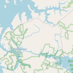
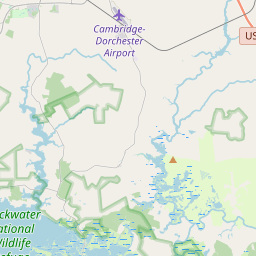
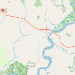
Locationbig map

| UTM (WGS84 Datum) | 18S E 393874 N 4261073 |
|---|---|
| Decimal Degrees | 38.49170000, -76.21690000 |
| Degrees and Decimal Minutes | N 38° 29.502', W 76° 13.014' |
| Degrees, Minutes and Seconds | 38° 29' 30.12" N, 76° 13' 0.84" W |
| Driving Directions | Google Maps |
| Area Code(s) | 410 |
| Closest Postal Address | At or near 4573 White Marsh Rd, Madison MD 21648, US |
| Alternative Maps | Google Maps, MapQuest, Bing Maps, Yahoo Maps, MSR Maps, OpenCycleMap, MyTopo Maps, OpenStreetMap |
Is this marker missing? Are the coordinates wrong? Do you have additional information that you would like to share with us? If so, check in.
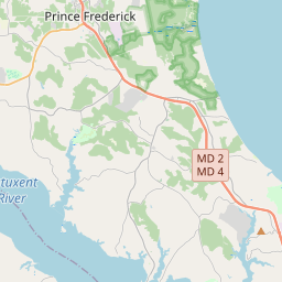
Nearby Markersshow on map
Show me all markers in: Madison, MD | Dorchester County | 21648 | Maryland | United States of America
Maintenance Issues
- Is this marker part of a series?
- What historical period does the marker represent?
- What historical place does the marker represent?
- What type of marker is it?
- What class is the marker?
- What style is the marker?
- Does the marker have a number?
- What year was the marker erected?
- Who or what organization placed the marker?
- This marker needs at least one picture.
- Can this marker be seen from the road?
- Is the marker in the median?
Comments 0 comments