Inscription
Star-Spangled Banner National Historic Trail
— War of 1812 —
British troops landing at North Point on September 12, 1814, could almost taste victory. Three weeks earlier they defeated the Americans at Bladensburg and invaded Washington. Now 4,500 men marched up North Point Road toward Baltimore, while the Royal Navy launched an assault on Fort McHenry.
They met unexpected resistance. Seven miles from the city they clashed with Americans in the Battle of North Point. The British forced an American retreat but suffered more casualties, including their leader, Major General Robert Ross. Marching forward they saw the city's formidable defenses at Hampstead Hill. When a 25-hour bombardment failed to take Fort McHenry, the navy aborted its attack, and the land troops withdrew to their ships.
"To our mortification we found the troops on the main road for a retreat..."British Lieutenant George Robert Gleig.
(Inscription below the painting in the lower center) Thomas Ruckle fought at the Battle of North Point with the 5th Maryland Regiment and later painted his recollection of the action.
Places to explore the Battle of Baltimore: *North Point State Park-Exhibits and programs about War of 1812 Todd's Inheritance Historic Site. *North Point State Battlefield-Site of battle between British and the American militia; General Ross mortally wounded in skirmish before main engagement. *Todd's Inheritance-Historic property, rural section of North Point Road suggesting period landscape. *Battle Acre Park-Monument honoring North Point "Old Defenders" *Fort McHenry National Monument and Historic Shrine-Exhibits and programs about the Star Spangled Banner and defense of Baltimore.
Details
| HM Number | HM1IHT |
|---|---|
| Series | This marker is part of the Star Spangled Banner National Historic Trail series |
| Tags | |
| Placed By | National Park Service-United States Department of the Interior |
| Marker Condition | No reports yet |
| Date Added | Tuesday, December 23rd, 2014 at 9:03am PST -08:00 |
Pictures
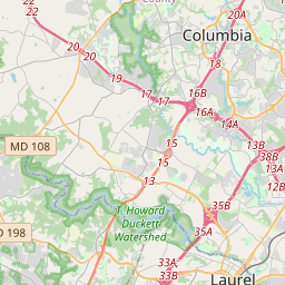
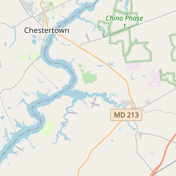
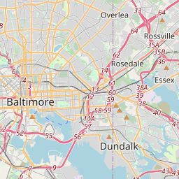
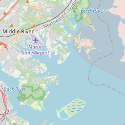
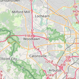
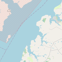
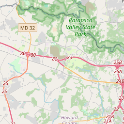
Locationbig map
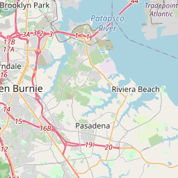

| UTM (WGS84 Datum) | 18S E 376461 N 4342199 |
|---|---|
| Decimal Degrees | 39.22030000, -76.43110000 |
| Degrees and Decimal Minutes | N 39° 13.218', W 76° 25.866' |
| Degrees, Minutes and Seconds | 39° 13' 13.08" N, 76° 25' 51.96" W |
| Driving Directions | Google Maps |
| Area Code(s) | 410, 443 |
| Closest Postal Address | At or near North Point Spur, Edgemere MD 21219, US |
| Alternative Maps | Google Maps, MapQuest, Bing Maps, Yahoo Maps, MSR Maps, OpenCycleMap, MyTopo Maps, OpenStreetMap |
Is this marker missing? Are the coordinates wrong? Do you have additional information that you would like to share with us? If so, check in.
Nearby Markersshow on map
Maintenance Issues
- What historical period does the marker represent?
- What historical place does the marker represent?
- What type of marker is it?
- What class is the marker?
- What style is the marker?
- Does the marker have a number?
- What year was the marker erected?
- This marker needs at least one picture.
- Can this marker be seen from the road?
- Is the marker in the median?
Comments 0 comments