Inscription
Star-Spangled Banner National Historic Trail
— War of 1812 —
Little evidence remains of what was once the northernmost navigable deep-water port on the Susquehanna River. The "Upper Ferry" crossed between here and Port Deposit.
When the British attacked May 3, 1813, they helped themselves to a barrel of whiskey from John Stump's warehouse, then torched the building with its 500 barrels of flour.
Day of TerrorIn one day, British raiders burned two-thirds of the building in Havre de Grace, raided a warehouse here, and destroyed the Principio Iron Works. Port Deposit—its battery visible from the water—was spared.
(Inscription under the painting in the upper left) A Ferry Scene on the Susquehanna at Wright's Ferry, near Havre de Grace, ca. 1811 by Pavel Petrovich Svomom-Image by the Metropolitian Museum of Art.
"The Boats which I sent up the Susquehanna returned after destroying five vessels in it and a large Store of Flour, when everything being completed to my utmost wishes, the whole division re-embarked and returned to the Ships..."British Rear Adm. George Cockburn to Adm. John B. Warren, May 3, 1813.
Details
| HM Number | HM1IW0 |
|---|---|
| Series | This marker is part of the Star Spangled Banner National Historic Trail series |
| Tags | |
| Placed By | National Park Service-United States Department of the Interior |
| Marker Condition | No reports yet |
| Date Added | Monday, January 19th, 2015 at 1:06pm PST -08:00 |
Pictures
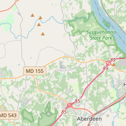
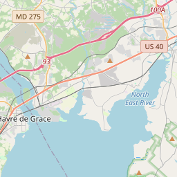
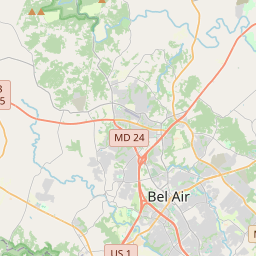
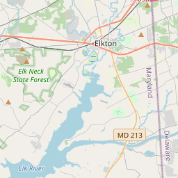
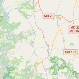
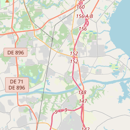
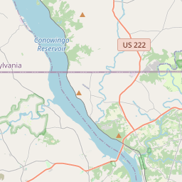
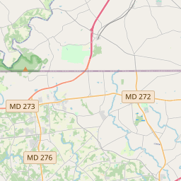
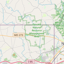
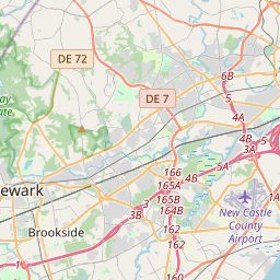
Locationbig map


| UTM (WGS84 Datum) | 18S E 403141 N 4383715 |
|---|---|
| Decimal Degrees | 39.59770000, -76.12810000 |
| Degrees and Decimal Minutes | N 39° 35.862', W 76° 7.686' |
| Degrees, Minutes and Seconds | 39° 35' 51.72" N, 76° 7' 41.16" W |
| Driving Directions | Google Maps |
| Area Code(s) | 443, 410 |
| Closest Postal Address | At or near 500-516 Herring Run Ln, Havre de Grace MD 21078, US |
| Alternative Maps | Google Maps, MapQuest, Bing Maps, Yahoo Maps, MSR Maps, OpenCycleMap, MyTopo Maps, OpenStreetMap |
Is this marker missing? Are the coordinates wrong? Do you have additional information that you would like to share with us? If so, check in.
Nearby Markersshow on map
Maintenance Issues
- What historical period does the marker represent?
- What historical place does the marker represent?
- What type of marker is it?
- What class is the marker?
- What style is the marker?
- Does the marker have a number?
- What year was the marker erected?
- This marker needs at least one picture.
- Can this marker be seen from the road?
- Is the marker in the median?
Comments 0 comments