Inscription
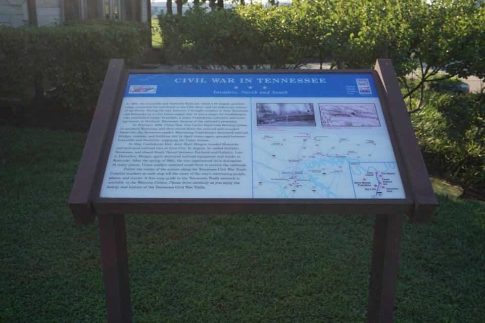
Invaders, North and South
In 1861, the Louisville and Nashville Railroad, which I-65 largely parallels today, connected the mid-South to the Ohio River and the industrial centers of the North. During the war, however, it brought invaders to both Tennessee and Kentucky as a vital Union supply line. It was a target for Confederates, who established Camp Trousdale, a major Confederate induction and training center, at Portland, Tennessee, because of the railroad's proximity.In February 1862, Union Gen. Don Carlos Buell took Bowling Green, in southern Kentucky, and then moved down the railroad and occupied Nashville, the Tennessee capitol. Retreating Confederates destroyed railroad bridges, trestles, and facilities, but by April trains again operated between Louisville and Nashville, supplying the Union armies.
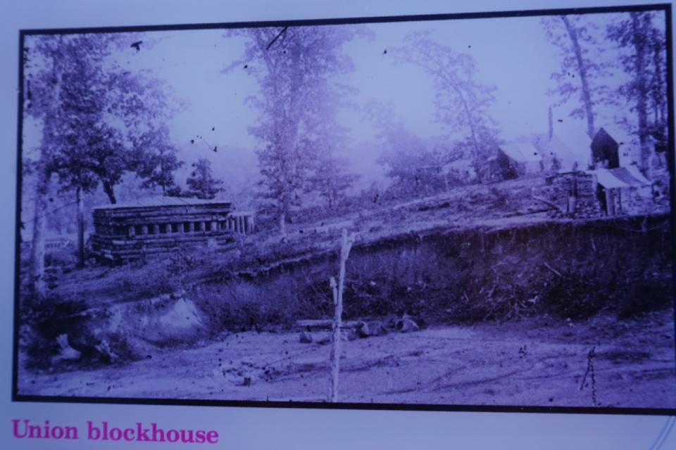
In May, Confederate Gen. John Hunt Morgan invaded Kentucky and destroyed railroad cars at Cave City. In August, he raided Gallatin, Tennessee, and closed South Tunnel between Portland and Gallatin. Late in December, Morgan again destroyed railroad equipment and tracks in Kentucky. After the spring of 1863, the line experienced little disruption. At many places, Union soldiers manned small forts to protect the railroads.
Follow the routes of the armies along the Tennessee Civil War Trails. Colorful markers at each stop tell the story of the war's interesting people, places, and events. A free map guide to the Tennessee Trails network is available in the Welcome Center. Please drive carefully as you enjoy the beauty and history of the Tennessee Civil War Trails.
Details
| HM Number | HM1L6F |
|---|---|
| Series | This marker is part of the Tennessee: Tennessee Civil War Trails series |
| Tags | |
| Marker Condition | No reports yet |
| Date Added | Thursday, June 18th, 2015 at 2:01pm PDT -07:00 |
Pictures


Locationbig map
| UTM (WGS84 Datum) | 16S E 538109 N 4054572 |
|---|---|
| Decimal Degrees | 36.63595000, -86.57371667 |
| Degrees and Decimal Minutes | N 36° 38.157', W 86° 34.423' |
| Degrees, Minutes and Seconds | 36° 38' 9.42" N, 86° 34' 25.38" W |
| Driving Directions | Google Maps |
| Area Code(s) | 615 |
| Which side of the road? | Marker is on the right when traveling South |
| Closest Postal Address | At or near 6111 Lake Springs Rd, Portland TN 37148, US |
| Alternative Maps | Google Maps, MapQuest, Bing Maps, Yahoo Maps, MSR Maps, OpenCycleMap, MyTopo Maps, OpenStreetMap |
Is this marker missing? Are the coordinates wrong? Do you have additional information that you would like to share with us? If so, check in.
Nearby Markersshow on map
Show me all markers in: Portland, TN | Robertson County | 37148 | Tennessee | United States of America
Maintenance Issues
- What historical period does the marker represent?
- What historical place does the marker represent?
- What type of marker is it?
- What class is the marker?
- What style is the marker?
- Does the marker have a number?
- What year was the marker erected?
- Who or what organization placed the marker?
- Can this marker be seen from the road?
- Is the marker in the median?
Comments 0 comments