Inscription
Before the arrival, 1858, of Granville W. Huffaker driving 500 head of cattle into the Truckee Meadows, the principal settlers were Mormon. The Comstock Lode and its mining needs focused attention on the valley. Huffaker established his ranch in 1859. Langton's Stage Line and the first Post Office were functioning by 1862. For ten years Huffaker's was a most active stage-stop and a center for a community. The school house was constructed in 1868. Bachelors of a jolly nature gathered here for dancing, horse-racing and "land squabbles". The Athenian Literary Society flourished for the more cultured. In 1875 the "Bonanza Kings" completed their Pacific Lumber and Flume operation from the Lake Tahoe Basin. For fifteen miles trestled logs were propelled "by waters rushing faster than any train." At the terminus of the flume, the Virginia and Truckee Railroad opened a depot and telegraph office and constructed a spur where workers transferred timbers.
Details
| HM Number | HM1S3I |
|---|---|
| Marker Number | 238 |
| Placed By | Nevada Division of Historic Preservation and Archeology and Reno Chapter of the National Society Daughters of the American Colonists |
| Marker Condition | No reports yet |
| Date Added | Saturday, May 7th, 2016 at 5:02am PDT -07:00 |
Pictures
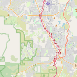
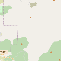
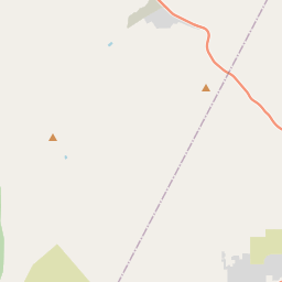
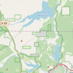
Locationbig map


| UTM (WGS84 Datum) | 11S E 261490 N 4369456 |
|---|---|
| Decimal Degrees | 39.44166667, -119.77151667 |
| Degrees and Decimal Minutes | N 39° 26.5', W 119° 46.291' |
| Degrees, Minutes and Seconds | 39° 26' 30" N, 119° 46' 17.46" W |
| Driving Directions | Google Maps |
| Area Code(s) | 775 |
| Which side of the road? | Marker is on the right when traveling South |
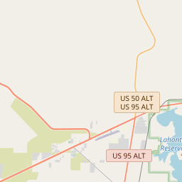
| Closest Postal Address | At or near 9813-9867 US-395 ALT, Reno NV 89511, US |
| Alternative Maps | Google Maps, MapQuest, Bing Maps, Yahoo Maps, MSR Maps, OpenCycleMap, MyTopo Maps, OpenStreetMap |
Is this marker missing? Are the coordinates wrong? Do you have additional information that you would like to share with us? If so, check in.
Nearby Markersshow on map
Maintenance Issues
- Is this marker part of a series?
- This markers needs some tags to help categorize the marker
- What historical period does the marker represent?
- What historical place does the marker represent?
- What type of marker is it?
- What class is the marker?
- What style is the marker?
- What year was the marker erected?
- This marker needs at least one picture.
- Can this marker be seen from the road?
- Is the marker in the median?
Comments 0 comments