Inscription
The canal in front of you, constructed in the 1830s, was part of a navigation system that extended 50 miles up the Rappahannock River. The downstream terminus was a turning basin, in the block to your right. Several industries were located nearby, some using the canal's navigation function and others its water power. In the 1880s, R.T. Knox and Brother converted a small mill to an electric generating plant, which began to make hydro-mechanical power obsolete.
With electricity now available, industries relocated away from the flood-prone waterways. To meet the new and growing demand, hydro-electric plants evolved to serve larger geographical areas. In 1910, the newly constructed Embry Power Plant provided electricity to the region, its turbines fed by water flowing through this canal. To maximize efficiency, the canal had been straightened and the turning basin filled in. A neighborhood rapidly developed, changing the nature of this area from industrial to residential.
(captions)
This 1854 lithograph shows the nature of the area around the turning basin.
This contemporary map shows how the canal was rerouted to allow the turning basin to be filled in and reclaimed for other uses. The canal no longer accommodated navigation, but would continue to be a raceway.
This detail from an 1878
map depicts the size of the turning basin and shows several related buildings.
Details
| HM Number | HM1SPT |
|---|---|
| Tags | |
| Marker Condition | No reports yet |
| Date Added | Monday, June 20th, 2016 at 1:04pm PDT -07:00 |
Pictures
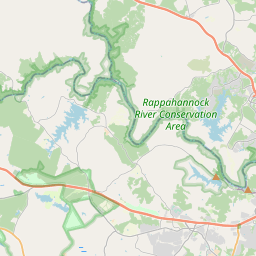
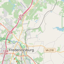
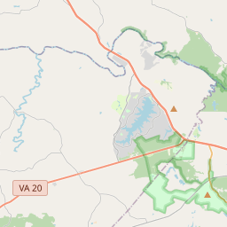
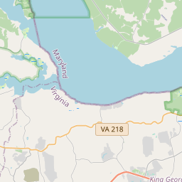
Locationbig map

| UTM (WGS84 Datum) | 18S E 284332 N 4242917 |
|---|---|
| Decimal Degrees | 38.30845000, -77.46661667 |
| Degrees and Decimal Minutes | N 38° 18.507', W 77° 27.997' |
| Degrees, Minutes and Seconds | 38° 18' 30.42" N, 77° 27' 59.82" W |
| Driving Directions | Google Maps |
| Area Code(s) | 540 |
| Which side of the road? | Marker is on the right when traveling West |
| Closest Postal Address | At or near Rappahannock Canal Path, Fredericksburg VA 22401, US |
| Alternative Maps | Google Maps, MapQuest, Bing Maps, Yahoo Maps, MSR Maps, OpenCycleMap, MyTopo Maps, OpenStreetMap |
Is this marker missing? Are the coordinates wrong? Do you have additional information that you would like to share with us? If so, check in.
Nearby Markersshow on map
A Canal Defines its Neighborhood
Water Powered Industries
Rappahannock River Heritage Trail
Religious Liberty
Col. George Eskridge Memorial Tree
Meditation Rock
The Canal Ditch: Battlefield Obstacle
The Canal Ditch: Battlefield Obstacle
Historic Old Mill District
Hydroelectricity Brings Changes to Fredericksburg
Maintenance Issues
- Is this marker part of a series?
- What historical period does the marker represent?
- What historical place does the marker represent?
- What type of marker is it?
- What class is the marker?
- What style is the marker?
- Does the marker have a number?
- What year was the marker erected?
- Who or what organization placed the marker?
- This marker needs at least one picture.
- Can this marker be seen from the road?
- Is the marker in the median?
Comments 0 comments