Inscription
History of the Cemetery Outhouse
The Cemetery Outhouse is a typical building from the turn-of-the-century (i.e. 1900). Because of the more or less "public" use of this building it was partitioned into two sections. One entrance was for the women and the other was for the men.
It was moved from Trinity's cemetery to its present location in the late 1960's.
Why would you need an outhouse in a cemetery?
In Freistadt, as in other church-centered communities, Sunday was set aside for the Lord. Not only was it a day of rest, but especially during warm weather, it was a time to look after the graves of relatives.
In the horse-and-buggy days, families would bring a lunch and have their noon meal on the cemetery grounds before hitching up the horses for the drive home.
Because the cemetery was a wide open, fairly level area, it became the site of church picnics and mission festivals where parishioners could socialize with friends, relatives and neighbors.
With that much time being spent on the cemetery grounds, a clean outhouse was an essential convenience in the days before indoor plumbing.
Details
| HM Number | HM1SYL |
|---|---|
| Tags | |
| Placed By | Trinity Historical Society |
| Marker Condition | No reports yet |
| Date Added | Friday, July 8th, 2016 at 5:01pm PDT -07:00 |
Pictures
Locationbig map


| UTM (WGS84 Datum) | 16T E 415027 N 4787356 |
|---|---|
| Decimal Degrees | 43.23421667, -88.04648333 |
| Degrees and Decimal Minutes | N 43° 14.053', W 88° 2.789' |
| Degrees, Minutes and Seconds | 43° 14' 3.18" N, 88° 2' 47.34" W |
| Driving Directions | Google Maps |
| Area Code(s) | 262 |
| Which side of the road? | Marker is on the right when traveling South |
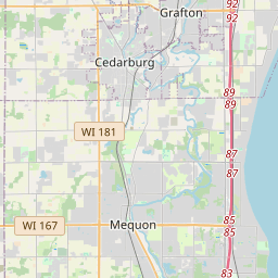
| Closest Postal Address | At or near 11705 N Church Pl, Mequon WI 53097, US |
| Alternative Maps | Google Maps, MapQuest, Bing Maps, Yahoo Maps, MSR Maps, OpenCycleMap, MyTopo Maps, OpenStreetMap |
Is this marker missing? Are the coordinates wrong? Do you have additional information that you would like to share with us? If so, check in.
Nearby Markersshow on map
Vogt Woodshed/Radue Gas Engine Historical
Radue Chicken Coop Historical
Gierach Smokehouse Historical
Baeseman Log Cabin Historical
Trinity Horse Shed Reconstruction Historical
Mueller Machine Shed Historical
Klumb-Beuscher Bake Oven Historical
Trinity School Woodshed Historical
Teacherage Summer Kitchen Historical
Parsonage Barn Historical
Maintenance Issues
- Is this marker part of a series?
- What historical period does the marker represent?
- What historical place does the marker represent?
- What type of marker is it?
- What class is the marker?
- What style is the marker?
- Does the marker have a number?
- What year was the marker erected?
- This marker needs at least one picture.
- Can this marker be seen from the road?
- Is the marker in the median?
Comments 0 comments