Inscription
The Sams family came to Brevard County from South Carolina in 1875 to take advantage of the 1860 Homestead Act. The family consisted of John Hanahan Sams, his wife Sarah, their five children, Johns brother William Sams, and his sister, Catherine DeVeaux Sams. The Sams Homestead consists of two buildings. The first, a single story home, was originally constructed in Eau Gallie on property homesteaded by John H. Sams in 1875. The family decided to move nearer to other relatives on North Merritt Island and the house was rafted up the Indian River in 1878 to the present site. It is the oldest dated structure on Merritt Island and a prime example of Florida vernacular construction. In 1884 Sams was granted a homestead deed for 156 acres and by 1888, built the second two-story home adjoining the older house on the property. Sams served as Superintendent of Schools for the county from 1880-1920, while growing citrus and pineapples. John H. Sams died in 1923 and the homes were occupied by his descendants until 1995. Archaeological excavations at the site discovered a prehistoric Native American occupation site that dates from approximately 5,000 BC to 1250 AD, and also a late Pleistocene fossil site.
Details
| HM Number | HM1WWM |
|---|---|
| Tags | |
| Year Placed | 2010 |
| Placed By | The Brevard County Historical Commission, The Brevard County Tourist Development Council and the Florida Department of State |
| Marker Condition | No reports yet |
| Date Added | Thursday, February 16th, 2017 at 9:01am PST -08:00 |
Pictures
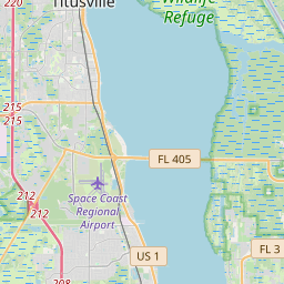
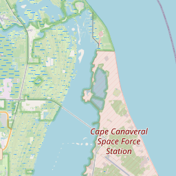
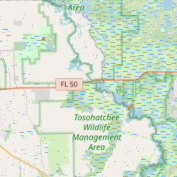
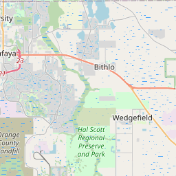
Locationbig map


| UTM (WGS84 Datum) | 17R E 527572 N 3149618 |
|---|---|
| Decimal Degrees | 28.47286667, -80.71833333 |
| Degrees and Decimal Minutes | N 28° 28.372', W 80° 43.1' |
| Degrees, Minutes and Seconds | 28° 28' 22.32" N, 80° 43' 6" W |
| Driving Directions | Google Maps |
| Area Code(s) | 321 |
| Which side of the road? | Marker is on the right when traveling South |
| Closest Postal Address | At or near Possom End Rd, Merritt Island FL 32953, US |
| Alternative Maps | Google Maps, MapQuest, Bing Maps, Yahoo Maps, MSR Maps, OpenCycleMap, MyTopo Maps, OpenStreetMap |
Is this marker missing? Are the coordinates wrong? Do you have additional information that you would like to share with us? If so, check in.
Nearby Markersshow on map
Show me all markers in: Merritt Island, FL | Brevard County | 32953 | Florida | United States of America
St. Luke's Episcopal Church Historical
Bethel African Methodist Episcopal Church of Merritt Island & Community Cemetery Historical
Saturn V
SATAN Tracking Antenna
John R. Field Homestead
The Addison/Ellis Canal
Ulumay
Port Canaveral Historic Milestones
Port Canaveral Historic Milestones
Port Canaveral Historic Milestones
Maintenance Issues
- Is this marker part of a series?
- What historical period does the marker represent?
- What historical place does the marker represent?
- What type of marker is it?
- What class is the marker?
- What style is the marker?
- Does the marker have a number?
- This marker needs at least one picture.
- Can this marker be seen from the road?
- Is the marker in the median?
Comments 0 comments