Inscription
This area was not always known as Gautier. The story of the city actually began in 1699. A French expedition, led by Pierre d'Iberville and accompanied by his younger brother, Jean-Baptiste Bienville, made landfall in Mobile, Alabama and explored the Mississippi gulf coast. They attempted to establish the first permanent French coastal colonial settlement in Gautier at the approximate location of what is now known as Le Maison Gautier, "The Old Place." But after a day's toil it was recognized that the Pascagoula River was too shallow for their large draft ships, and the group retired to establish their colony at Ocean Springs.
The first permanent settler in the area was Jean Baptiste Baudreau dit Graveline who came with d'Iberville's second voyage in 1700. Graveline returned to establish a large cattle plantation in 1717.
The entire rural area west of the Pascagoula River basin was known as West Pascagoula. Through the 18th and 19th centuries the population gradually expanded while the economy remained primarily agricultural. National ownership went from France to Great Britain to Spain to the Republic of West Florida and finally to the United States in 1795.
In 1865 Fernando Upton Gautier, a sawmill operator, moved from Tchoutacabouffa to West Pascagoula. He built his home, subsequently called "The
Old Place" on the western overlook of the river. He erected a lumber mill at the site where the railroad bridge now crosses the Pascagoula River, naming it F. Gautier & Sons. In the post-Civil War reconstruction period and with the coming of the railroad in 1876 the mill became the largest industry in area, complete with its own railroad stop. By common usage most people began calling the community Gautier because of the prominent sign on the side of the railroad building. By 1905 that name was in use on maps and by the US Postal Service. Gautier became an incorporated city July 1, 1986.
Details
| HM Number | HM2AV5 |
|---|---|
| Tags | |
| Placed By | Jackson County Board of Supervisors, Gautier Historic Preservation Commission |
| Marker Condition | No reports yet |
| Date Added | Monday, August 27th, 2018 at 8:01pm PDT -07:00 |
Pictures
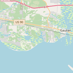
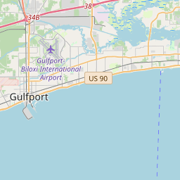
Locationbig map

| UTM (WGS84 Datum) | 16R E 340109 N 3363682 |
|---|---|
| Decimal Degrees | 30.39456667, -88.66430000 |
| Degrees and Decimal Minutes | N 30° 23.674', W 88° 39.858' |
| Degrees, Minutes and Seconds | 30° 23' 40.44" N, 88° 39' 51.48" W |
| Driving Directions | Google Maps |
| Area Code(s) | 228, 601, 662 |
| Which side of the road? | Marker is on the right when traveling West |
| Closest Postal Address | At or near , Gautier MS 39553, US |
| Alternative Maps | Google Maps, MapQuest, Bing Maps, Yahoo Maps, MSR Maps, OpenCycleMap, MyTopo Maps, OpenStreetMap |
Is this marker missing? Are the coordinates wrong? Do you have additional information that you would like to share with us? If so, check in.
Nearby Markersshow on map
Maintenance Issues
- Is this marker part of a series?
- What historical period does the marker represent?
- What historical place does the marker represent?
- What type of marker is it?
- What class is the marker?
- What style is the marker?
- Does the marker have a number?
- What year was the marker erected?
- This marker needs at least one picture.
- Can this marker be seen from the road?
- Is the marker in the median?
Comments 0 comments