Inscription
In May 1915, Reverend William Troutman and seven founders established the First United Methodist Church (Methodist Episcopal Church South). The first church building was completed in 1916 on land donated by the Okeechobee Company, a Henry Flagler company. The one-story, wood structure was the first church building in the city of Okeechobee. The building was moved to an adjoining lot in 1921 to make way for construction of this brick church building, whose plans were approved that same year. Seed money for the construction was raised by a William Jennings Bryan lecture and the building was completed debt free in 1924. The brick church features replacement stained glass windows installed in original "rose" window frames and a Reuter pipe organ installed in 1944. The original wood building served as the parsonage until 1969, then was used as the Heart & Hand Mission and youth building until its demolition in 1979. The church has served the community by hosting Okeechobee High School graduations, numerous weddings, funerals, music programs, and other events. The church was listed on the National Register of Historic Places in 2015 in celebration of the centennial of the first church building in Okeechobee.
Details
| HM Number | HM2DMF |
|---|---|
| Tags | |
| Year Placed | 2016 |
| Placed By | First United Methodist Church of Okeechobee, Florida and the Florida Department of State |
| Marker Condition | No reports yet |
| Date Added | Wednesday, January 16th, 2019 at 4:03pm PST -08:00 |
Pictures
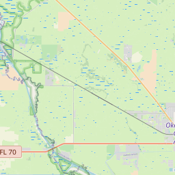
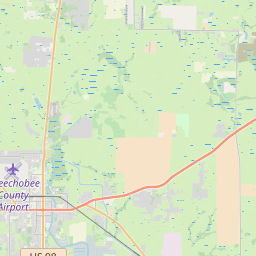
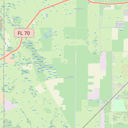
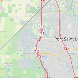
Locationbig map

| UTM (WGS84 Datum) | 17R E 516686 N 3013568 |
|---|---|
| Decimal Degrees | 27.24486667, -80.83145000 |
| Degrees and Decimal Minutes | N 27° 14.692', W 80° 49.887' |
| Degrees, Minutes and Seconds | 27° 14' 41.52" N, 80° 49' 53.22" W |
| Driving Directions | Google Maps |
| Area Code(s) | 863, 407 |
| Which side of the road? | Marker is on the right when traveling West |
| Closest Postal Address | At or near 200 NW 2nd St, Okeechobee FL 34972, US |
| Alternative Maps | Google Maps, MapQuest, Bing Maps, Yahoo Maps, MSR Maps, OpenCycleMap, MyTopo Maps, OpenStreetMap |
Is this marker missing? Are the coordinates wrong? Do you have additional information that you would like to share with us? If so, check in.
Nearby Markersshow on map
Show me all markers in: Okeechobee, FL | Okeechobee County | 34972 | Florida | United States of America
Okeechobee County
Peter and Louisiana Chandler Raulerson Log Cabin Historic Site
Tantie School House #14
Peter And Louisiana Chandler Raulerson Gravesite Historical
Battle of Okeechobee Historical
Fort Basinger
Hurricane of 1928 Mass Burial Site
Jupiter Indiantown Road Historical
Conners' Toll Highway
Site of Fort Vinton
Maintenance Issues
- Is this marker part of a series?
- What historical period does the marker represent?
- What historical place does the marker represent?
- What type of marker is it?
- What class is the marker?
- What style is the marker?
- Does the marker have a number?
- This marker needs at least one picture.
- Can this marker be seen from the road?
- Is the marker in the median?
Comments 0 comments