Inscription
In the spring and summer of 1864, Union officers of the Department of the South on Hilton Head Island became concerned about retaining sufficient troops and equipment to defend Hilton Head, as units were being transferred to participate in campaigns elsewhere, particularly in Virginia and Georgia, where General William Tecumseh Sherman's army had attacked Atlanta in the spring of 1864. Commanders on Hilton Head worried that the Confederates would engage in raids or more serious attacks on the island, especially on the new freedman's village of Mitchelville. Major General John G. Foster ordered Captain Charles R. Suter, Chief of Engineers in the Department of the South, to build an earthwork fort for the purpose of defending Mitchelville and Hilton Head. The pentagonal earthwork was designed to defend the two main approaches to Mitchelville from the southwest and southeast.
Fort Howell did not see action, and was abandoned at wars end. One of the best preserved Civil War earthen forts in South Carolina, it was listed on the National Register of Historic Places in 2011, and was designated as a National Underground Railroad Network to Freedom site by the National Park Service in 2013.
Fort Howell did not see action, and was abandoned at wars end. One of the best preserved Civil War earthen forts in South Carolina, it was listed on the National Register of Historic Places in 2011, and was designated as a National Underground Railroad Network to Freedom site by the National Park Service in 2013.
Details
| HM Number | HM2FFW |
|---|---|
| Tags | |
| Placed By | Hilton Head Island Land Trust |
| Marker Condition | No reports yet |
| Date Added | Monday, April 8th, 2019 at 2:01pm PDT -07:00 |
Pictures
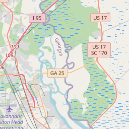
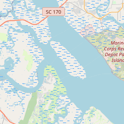
Locationbig map


| UTM (WGS84 Datum) | 17S E 528819 N 3566281 |
|---|---|
| Decimal Degrees | 32.23280000, -80.69411667 |
| Degrees and Decimal Minutes | N 32° 13.968', W 80° 41.647' |
| Degrees, Minutes and Seconds | 32° 13' 58.08" N, 80° 41' 38.82" W |
| Driving Directions | Google Maps |
| Closest Postal Address | At or near , , |
| Alternative Maps | Google Maps, MapQuest, Bing Maps, Yahoo Maps, MSR Maps, OpenCycleMap, MyTopo Maps, OpenStreetMap |
Is this marker missing? Are the coordinates wrong? Do you have additional information that you would like to share with us? If so, check in.
Nearby Markersshow on map
Maintenance Issues
- What country is the marker located in?
- Is this marker part of a series?
- What historical period does the marker represent?
- What historical place does the marker represent?
- What type of marker is it?
- What class is the marker?
- What style is the marker?
- Does the marker have a number?
- What year was the marker erected?
- This marker needs at least one picture.
- Can this marker be seen from the road?
- Is the marker in the median?
Comments 0 comments