Inscription
1849
On May 10, 1849, one of NYC's largest riots occurred on this square at the Astor Place Opera House. Blamed on long-standing trans-Atlantic rivalry between famous Shakespearean actors - American-born Edwin Forrest and Englishman Edward Macready - the event was also the culmination of years of ethnic and class resentments against the city's Anglophile elite. While the rich embraced Macready's refined style, the masses championed Forrest's muscular approach. Class war erupted with their rival productions of Macbeth - Forrest's at the Broadway Theatre below Canal, and Macready's at the fancy Astor Place Opera House which required kid gloves and clean shaves."Shall Americans or English rule in this city/" read leaflets, challenging nativist Bowery Boys and Irish anger over the Famine. On May 7th, hundreds attended and shut down Macready's performance by hurling insults, eggs and chairs. Three nights later, thousands converged on the Opera House. Refusing to disperse, rocks were thrown through windows and at the State Militia, who fired into the crowd, killing some 30 people, many just bystanders.
Macready fled to England, never to return. The reviled "DisAstor Place Opera House" soon closed. As disparity between rich and poor increased, theaters ceased being democratic gathering
places, and instead were segregated by economic class.
-Eric Ferrara, author of The Bowery and founder of Lower East Side History Project (leshp.org)
Details
| HM Number | HM2IWE |
|---|---|
| Tags | |
| Year Placed | 2016 |
| Placed By | Bowery Alliance of Neighbors |
| Marker Condition | No reports yet |
| Date Added | Thursday, July 18th, 2019 at 2:04pm PDT -07:00 |
Pictures
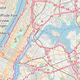
Locationbig map


| UTM (WGS84 Datum) | 18T E 585162 N 4509276 |
|---|---|
| Decimal Degrees | 40.73001667, -73.99150000 |
| Degrees and Decimal Minutes | N 40° 43.801', W 73° 59.49' |
| Degrees, Minutes and Seconds | 40° 43' 48.06" N, 73° 59' 29.4" W |
| Driving Directions | Google Maps |
| Which side of the road? | Marker is on the right when traveling South |
| Closest Postal Address | At or near , , |
| Alternative Maps | Google Maps, MapQuest, Bing Maps, Yahoo Maps, MSR Maps, OpenCycleMap, MyTopo Maps, OpenStreetMap |
Is this marker missing? Are the coordinates wrong? Do you have additional information that you would like to share with us? If so, check in.
Maintenance Issues
- What country is the marker located in?
- Is this marker part of a series?
- What historical period does the marker represent?
- What historical place does the marker represent?
- What type of marker is it?
- What class is the marker?
- What style is the marker?
- Does the marker have a number?
- This marker needs at least one picture.
- Can this marker be seen from the road?
- Is the marker in the median?

Comments 0 comments