Inscription
Created Organized
April 8,1905 September 19, 1905
Named in honor of
Alexander Watkins Terrell
1827-1912
A distinguished officer in the
Confederate Army
Member of the Texas Legislature
for sixteen years
Sanderson, the county seat
Details
| HM Number | HM2KBS |
|---|---|
| Series | This marker is part of the Texas 1936 Centennial Markers and Monuments series |
| Tags | |
| Year Placed | 1936 |
| Placed By | Texas Highway Department |
| Marker Condition | No reports yet |
| Date Added | Wednesday, September 4th, 2019 at 5:04pm PDT -07:00 |
Pictures
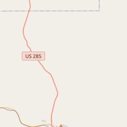
Locationbig map


| UTM (WGS84 Datum) | 13R E 749791 N 3337676 |
|---|---|
| Decimal Degrees | 30.14485000, -102.40675000 |
| Degrees and Decimal Minutes | N 30° 8.691', W 102° 24.405' |
| Degrees, Minutes and Seconds | 30° 8' 41.46" N, 102° 24' 24.3" W |
| Driving Directions | Google Maps |
| Which side of the road? | Marker is on the right when traveling East |
| Closest Postal Address | At or near , , |
| Alternative Maps | Google Maps, MapQuest, Bing Maps, Yahoo Maps, MSR Maps, OpenCycleMap, MyTopo Maps, OpenStreetMap |
Is this marker missing? Are the coordinates wrong? Do you have additional information that you would like to share with us? If so, check in.
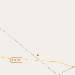
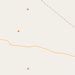
Nearby Markersshow on map
Maintenance Issues
- What country is the marker located in?
- What historical period does the marker represent?
- What historical place does the marker represent?
- What type of marker is it?
- What class is the marker?
- What style is the marker?
- Does the marker have a number?
- This marker needs at least one picture.
- Can this marker be seen from the road?
- Is the marker in the median?
Comments 0 comments