Inscription
November 27, 1863
After the battle of Missionary Ridge, Bragg's Confederate Army retreated in disorder towards Dalton. Brig. Gen. Patrick R. Cleburne was ordered to take position in the gap, hold back the Federals, and save the trains and artillery from capture.Exercising his only independent command, Cleburne utilized the terrain and his well-trained troops, to hold up Federals pursuit for five precious hours. The trains and artillery were saved. By Joint Resolution, the Confederate Congress thanked Cleburne for his achievement.
Details
| HM Number | HM7VA |
|---|---|
| Series | This marker is part of the Battlefield Trails - Civil War series, and the Georgia: Georgia Historical Society/Commission series. |
| Tags | |
| Marker Number | 023-16 |
| Year Placed | 1996 |
| Placed By | Georgia Department of Natural Resources |
| Marker Condition | No reports yet |
| Date Added | Friday, October 3rd, 2014 at 11:29pm PDT -07:00 |
Pictures
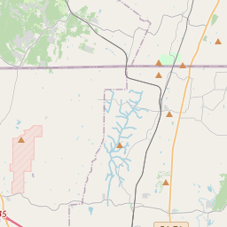
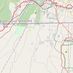
Locationbig map


| UTM (WGS84 Datum) | 16S E 673308 N 3864673 |
|---|---|
| Decimal Degrees | 34.90971667, -85.10296667 |
| Degrees and Decimal Minutes | N 34° 54.583', W 85° 6.178' |
| Degrees, Minutes and Seconds | 34° 54' 34.98" N, 85° 6' 10.68" W |
| Driving Directions | Google Maps |
| Area Code(s) | 706, 423 |
| Closest Postal Address | At or near 8379 U.S. 41, Ringgold GA 30736, US |
| Alternative Maps | Google Maps, MapQuest, Bing Maps, Yahoo Maps, MSR Maps, OpenCycleMap, MyTopo Maps, OpenStreetMap |
Is this marker missing? Are the coordinates wrong? Do you have additional information that you would like to share with us? If so, check in.
Nearby Markersshow on map
Maintenance Issues
- What historical period does the marker represent?
- What historical place does the marker represent?
- What type of marker is it?
- What class is the marker?
- What style is the marker?
- This marker needs at least one picture.
- Can this marker be seen from the road?
- Is the marker in the median?
Comments 0 comments