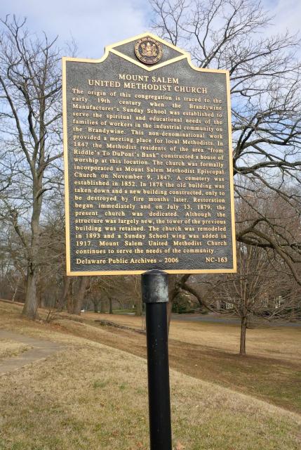
Inscription
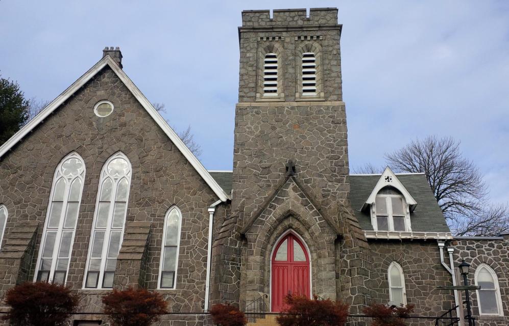
The origin of this congregation is traced to the early 19th century when the Brandywine Manufacturer's Sunday School was established to serve the spiritual and educational needs of the families of workers in the industrial community on the Brandywine. This non-denominational work provided a meeting place for local Methodists. In 1847 the Methodist residents of the area "from Riddle's to DuPont's Bank" constructed a house of worship at this location. The church was formally incorporated as Mount Salem Methodist Episcopal Church on November 9, 1847. A cemetery was established in 1852. In 1878 the old building was taken down and a new building constructed, only to be destroyed by fire months later. Restoration began immediately and on July 13, 1879, the present church was dedicated. Although the structure was largely new, the tower of the previous building was retained. The church was remodeled in 1893 and a Sunday School wing was added in 1917. Mount Salem United Methodist Church continues to serve the needs of the community.
Details
| HM Number | HM8T4 |
|---|---|
| Tags | |
| Historical Period | 19th Century, 20th Century |
| Historical Place | Cemetery, Church/House of Worship |
| Marker Type | Historic Building |
| Marker Class | Historical Marker |
| Marker Style | Free Standing |
| Marker Number | NC-163 |
| Year Placed | 2006 |
| Placed By | Delaware Public Archives |
| Marker Condition | No reports yet |
| Date Added | Tuesday, September 23rd, 2014 at 4:48pm PDT -07:00 |
Pictures

Locationbig map
| UTM (WGS84 Datum) | 18S E 450814 N 4401838 |
|---|---|
| Decimal Degrees | 39.76505000, -75.57425000 |
| Degrees and Decimal Minutes | N 39° 45.903', W 75° 34.455' |
| Degrees, Minutes and Seconds | 39° 45' 54.1800" N, 75° 34' 27.3000" W |
| Driving Directions | Google Maps |
| Area Code(s) | 302 |
| Can be seen from road? | Yes |
| Is marker in the median? | No |
| Which side of the road? | Marker is on the right when traveling West |
| Closest Postal Address | At or near 2629 W 19th St, Wilmington DE 19806, US |
| Alternative Maps | Google Maps, MapQuest, Bing Maps, Yahoo Maps, MSR Maps, OpenCycleMap, MyTopo Maps, OpenStreetMap |
Is this marker missing? Are the coordinates wrong? Do you have additional information that you would like to share with us? If so, check in.
Nearby Markersshow on map
Show me all markers in: Wilmington, DE | New Castle County | 19806 | Delaware | United States of America
Maintenance Issues
- Is this marker part of a series?
Comments 0 comments