Inscription
Alexandria in the Civil War
"Alexandria is ours," declared Col. Orlando Wilcox of the 1st Michigan Vol. Inf. as his regiment captured the city on the morning of May 24, 1861. When Virginia's vote of secession became effective, Union forces immediately crossed the Potomac River and occupied the Virginia shore. Due to its strategic location on the Potomac River just south of Washington, D.C., Alexandria became a prime Union occupation target.During the capture of Alexandria, James W. Jackson, an ardent secessionist and the proprietor of Marshall House, fatally shot Union Col. Elmer E. Ellsworth as he removed a Confederate flag from the top of the hotel. In retaliation, a member of Ellsworth's 11th New York Zouave regiment killed Jackson. Both men became martyrs for their respective causes.
Alexandria's transformation from small southern town to military district took its toll on the city. Two-thirds of the population fled. Large private homes, churches and other public buildings were "requisitioned" to support the military occupation. The city became headquarters for the U.S. Military Railroad and one of the largest Union army hospital centers in the East. One of the first national cemeteries, established by an order of President Abraham Lincoln in February 1862, is located on Wilkes Street.
Alexandria would remain under Union control through late 1865, distinguishing it as the longest occupied territory of the Civil War. Today, many of the buildings that survived the four-year military occupation remain standing.
Details
| HM Number | HMD2 |
|---|---|
| Series | This marker is part of the Virginia Civil War Trails series |
| Tags | |
| Placed By | Virginia Civil War Trails |
| Marker Condition | No reports yet |
| Date Added | Wednesday, September 3rd, 2014 at 9:24pm PDT -07:00 |
Pictures
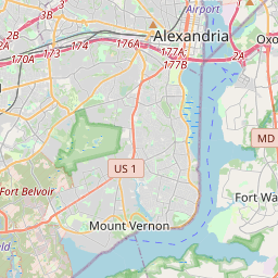
Locationbig map

| UTM (WGS84 Datum) | 18S E 320924 N 4297344 |
|---|---|
| Decimal Degrees | 38.80668333, -77.06235000 |
| Degrees and Decimal Minutes | N 38° 48.401', W 77° 3.741' |
| Degrees, Minutes and Seconds | 38° 48' 24.06" N, 77° 3' 44.46" W |
| Driving Directions | Google Maps |
| Area Code(s) | 703, 202 |
| Closest Postal Address | At or near 5260-5274 MD-355, Alexandria VA 22301, US |
| Alternative Maps | Google Maps, MapQuest, Bing Maps, Yahoo Maps, MSR Maps, OpenCycleMap, MyTopo Maps, OpenStreetMap |
Is this marker missing? Are the coordinates wrong? Do you have additional information that you would like to share with us? If so, check in.
Nearby Markersshow on map
Maintenance Issues
- What historical period does the marker represent?
- What historical place does the marker represent?
- What type of marker is it?
- What class is the marker?
- What style is the marker?
- Does the marker have a number?
- What year was the marker erected?
- This marker needs at least one picture.
- Can this marker be seen from the road?
- Is the marker in the median?
Comments 0 comments