Inscription
Less than three decades after Columbus had discovered America, on Aug. 18, 1521 ( St. Helena's Day ), Spanish seafarers from Santo Domingo sighted this magnificent harbor, named its Eastern headland the Punta de Santa Elena, from which the area derived its name, and claimed it for the King of Spain. For nearly half a century this was the mecca of Spain's repeatedly frustrated efforts to plant a settlement on the Atlantic Coast,Not however until after Ribaut's garrison had abandoned Charlesfort, at what he had called Port Royal, did Men?ndez de Avil arrive to prevent further incursions by the French, to assert Spanish sovereignty, and to Christianize the natives. Dispatched by Phillip II of Spain in 1565 with a fleet of vessels and over 2500 colonists, he had made his landfall at Cape Canaveral, expelled the French from Fort Caroline on the River May, established and fortified St. Augustine, and wreaked vengeance on the returning Rebaut. In the summer of 1567 he proceeded to Santa Elena, apparently his original destination; here he planted Fort San Felipe, the northernmost known bastion of the province of Florida and built the city planned for its development.
For twenty years Spain's tenure was marked by varying degrees of success, marred by disintegrating relations with the Indians, who destroyed the Fort and the settlement in 1577. The fortress was promptly replaced by Fort San Marcos, its palisades made of cedar logs brought from St. Augustine; but the settlement remained in ashes until 1580 when it was rebuilt to its former condition - - some sixty odd buildings, half of which were tabby. Partially governed by its inhabitants, it furnished what was possibly the first instance of the use of the democratic process, and of woman suffrage in the New World.
Both the Fort and the settlement were abandoned in 1587 when the inhabitants were withdrawn to St. Augustine to strengthen its defenses following Sir Francis Drake's raid of the previous year.
Details
| HM Number | HME0U |
|---|---|
| Series | This marker is part of the South Carolina: Beaufort County Historical Society series |
| Tags | |
| Placed By | Beaufort County Historical Society |
| Marker Condition | No reports yet |
| Date Added | Friday, October 10th, 2014 at 2:38pm PDT -07:00 |
Pictures
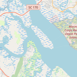
Locationbig map
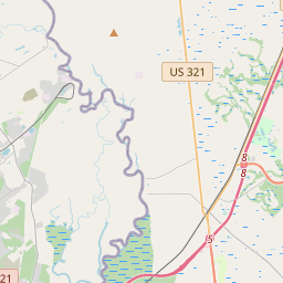


| UTM (WGS84 Datum) | 17S E 530535 N 3574439 |
|---|---|
| Decimal Degrees | 32.30635000, -80.67563333 |
| Degrees and Decimal Minutes | N 32° 18.381', W 80° 40.538' |
| Degrees, Minutes and Seconds | 32° 18' 22.86" N, 80° 40' 32.28" W |
| Driving Directions | Google Maps |
| Area Code(s) | 803, 843 |
| Closest Postal Address | At or near 418 Belleau Wood Rd, Beaufort SC 29902, US |
| Alternative Maps | Google Maps, MapQuest, Bing Maps, Yahoo Maps, MSR Maps, OpenCycleMap, MyTopo Maps, OpenStreetMap |
Is this marker missing? Are the coordinates wrong? Do you have additional information that you would like to share with us? If so, check in.
Nearby Markersshow on map
Show me all markers in: Beaufort, SC | Beaufort County | 29902 | South Carolina | United States of America
Maintenance Issues
- What historical period does the marker represent?
- What historical place does the marker represent?
- What type of marker is it?
- What class is the marker?
- What style is the marker?
- Does the marker have a number?
- What year was the marker erected?
- This marker needs at least one picture.
- Can this marker be seen from the road?
- Is the marker in the median?
Comments 0 comments