Inscription
The original 85-acre tract (gift of Austin citizens in 1892) was the site of annual encampments for the Texas Volunteer Guard, an elite militia constituted in 1876. Because larger maneuver, parade, and drill areas were needed, the guardsmen worked actively to acquire more land. With state and federal purchases, the camp at its largest consisted of over 430 acres.
By vote of guardsmen, the camp was named in 1898 for Adjutant General Woodford Haywood Mabry (1856-1899), who provided forceful leadership for the militia.
In 1914 (after the National Guard was created 1906) the State of Texas built an arsenal here for stores formerly held in the Capitol. This was a campsite for United States Army during the first World War, and was principal site until 1928 for annual guard encampments. During World War II, it was an ordnance engine rebuild station for the United States Army.
For many years, Texas Department of Public Safety patrolmen were trained at Camp Mabry; Texas Rangers had their training command here until 1953. This has been headquarters since 1954 for the state Adjutant General. Other post installations include Texas Army National Guard state officer candidate school and the U.S. Property and Fiscal Office and Warehouse.
Details
| HM Number | HMH4A |
|---|---|
| Tags | |
| Marker Number | 6465 |
| Year Placed | 1972 |
| Placed By | The State Historical Survey Committee |
| Marker Condition | No reports yet |
| Date Added | Thursday, September 25th, 2014 at 11:57am PDT -07:00 |
Pictures
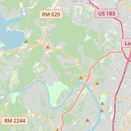
Locationbig map
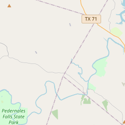

| UTM (WGS84 Datum) | 14R E 619172 N 3353744 |
|---|---|
| Decimal Degrees | 30.30961667, -97.76056667 |
| Degrees and Decimal Minutes | N 30° 18.577', W 97° 45.634' |
| Degrees, Minutes and Seconds | 30° 18' 34.62" N, 97° 45' 38.04" W |
| Driving Directions | Google Maps |
| Area Code(s) | 512 |
| Closest Postal Address | At or near 2497 W 35th St, Austin TX 78703, US |
| Alternative Maps | Google Maps, MapQuest, Bing Maps, Yahoo Maps, MSR Maps, OpenCycleMap, MyTopo Maps, OpenStreetMap |
Is this marker missing? Are the coordinates wrong? Do you have additional information that you would like to share with us? If so, check in.
Nearby Markersshow on map
Maintenance Issues
- Is this marker part of a series?
- What historical period does the marker represent?
- What historical place does the marker represent?
- What type of marker is it?
- What class is the marker?
- What style is the marker?
- This marker needs at least one picture.
- Can this marker be seen from the road?
- Is the marker in the median?
Comments 0 comments