Inscription
Whitefield House, planned by George Whitefield in 1740 when he obtained 5,000 acres of land for a Negro school and began by Peter Boehler and several Brethern. Purchased by the Moravians, 1741. Completed for a family house, 1743. Converted into a boarding school for girls 1745 and into a nursery for children of missionaries three years later used as a home for retired mission workers since 1764 except for the years 1855-1858 when it was occupied by the theological seminary seat of the Moravian Historical Society and Museum since 1871
Details
| HM Number | HMJPZ |
|---|---|
| Tags | |
| Year Placed | 1931 |
| Placed By | Pennsylvania Historical Commission and Moravian Historical Society |
| Marker Condition | No reports yet |
| Date Added | Thursday, September 18th, 2014 at 4:04pm PDT -07:00 |
Pictures
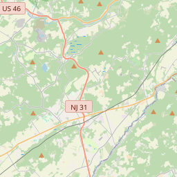
Locationbig map

| UTM (WGS84 Datum) | 18T E 474077 N 4510197 |
|---|---|
| Decimal Degrees | 40.74231667, -75.30703333 |
| Degrees and Decimal Minutes | N 40° 44.539', W 75° 18.422' |
| Degrees, Minutes and Seconds | 40° 44' 32.34" N, 75° 18' 25.32" W |
| Driving Directions | Google Maps |
| Area Code(s) | 610, 484 |
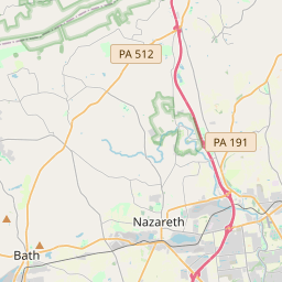
| Closest Postal Address | At or near 202 E Center St, Nazareth PA 18064, US |
| Alternative Maps | Google Maps, MapQuest, Bing Maps, Yahoo Maps, MSR Maps, OpenCycleMap, MyTopo Maps, OpenStreetMap |
Is this marker missing? Are the coordinates wrong? Do you have additional information that you would like to share with us? If so, check in.
Nearby Markersshow on map
Show me all markers in: Nazareth, PA | Northampton County | 18064 | Pennsylvania | United States of America
Maintenance Issues
- Is this marker part of a series?
- What historical period does the marker represent?
- What historical place does the marker represent?
- What type of marker is it?
- What class is the marker?
- What style is the marker?
- Does the marker have a number?
- This marker needs at least one picture.
- Can this marker be seen from the road?
- Is the marker in the median?
Comments 0 comments