Inscription
Government Island Orientation
Welcome to Government Island. This 17-acre historic site is an early American quarry originally named Brent's Island or Wiggington's Island. As early as 1694, stone was quarried from this site for use as architectural trim in Colonial America. The quarry's fine-grained sandstone was called Aquia (ah qui' ah) stone, due to its location along the Aquia Creek, or freestone, for its ability to be freely carved without splitting. The stone was a desirable building material for its composition as well as its beautiful white color.In 1791, the federal government purchased Brent's Island for the purpose of consgtruction the President's House (later referred to as the White House) and the United States Capitol. Extensive quantities of freestone were extracted from this site from 1791 through the 1820s.
As you tour Government Island, you will learn about the quarry workers, their quarrying methods, and the area's Native American presence.
The picks and mauls are silent now at Government Island.
Gone are the muscled laborers who quarried the rock.
Gone, too, are the masted ships that carried it north.
Government Island is quiet now
? ? Overgrown with oaks and maples and sticker bushes.
Only the silent stones say that
? ? This was once the nation's most famous quarry.
- Jim Hall, Journalist, July 6, 1992; The Free Lance-Star
Potomac Heritage National Scenic Trail
Connecting People and Places. The trail on Government Island, along with the Aquia Landing Park and Belmont-Ferry Farm Trail, is a segment of the Potomac heritage National Scenic Trail.
An enterprise of many partners, the evolving Trail network celebrates the heritage of the Potomac and upper Ohio River basins. Between the Alleghenies of Western Pennsylvania and valleys to the piedmont and coastal plain, and offers many opportunities to explore historic sites, natural areas, and communities.
For more information, visit www.nps.gov/pohe.
Details
| HM Number | HMQFW |
|---|---|
| Year Placed | 2010 |
| Placed By | Tourism and Parks, Recreation and Community Facilities, Stafford County, Va |
| Marker Condition | No reports yet |
| Date Added | Friday, September 19th, 2014 at 5:19pm PDT -07:00 |
Pictures
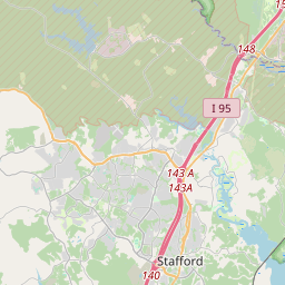
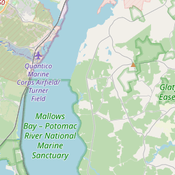
Locationbig map
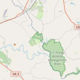

| UTM (WGS84 Datum) | 18S E 291600 N 4258115 |
|---|---|
| Decimal Degrees | 38.44701667, -77.38805000 |
| Degrees and Decimal Minutes | N 38° 26.821', W 77° 23.283' |
| Degrees, Minutes and Seconds | 38° 26' 49.26" N, 77° 23' 16.98" W |
| Driving Directions | Google Maps |
| Area Code(s) | 540, 703, 202 |
| Closest Postal Address | At or near 167 Starboard Cove, Stafford VA 22554, US |
| Alternative Maps | Google Maps, MapQuest, Bing Maps, Yahoo Maps, MSR Maps, OpenCycleMap, MyTopo Maps, OpenStreetMap |
Is this marker missing? Are the coordinates wrong? Do you have additional information that you would like to share with us? If so, check in.
Nearby Markersshow on map
Show me all markers in: Stafford, VA | Stafford County | 22554 | Virginia | United States of America
Maintenance Issues
- Is this marker part of a series?
- This markers needs some tags to help categorize the marker
- What historical period does the marker represent?
- What historical place does the marker represent?
- What type of marker is it?
- What class is the marker?
- What style is the marker?
- Does the marker have a number?
- This marker needs at least one picture.
- Can this marker be seen from the road?
- Is the marker in the median?
Comments 0 comments