Inscription
The Confederate Center
— Battle of Lynchburg —
Following the Confederate defeat at Gettysburg in July 1863, Lynchburg's citizens became concerned about the lack of defenses around the city. Gen. Francis Nicholls, post commander, prepared a series of earthen redoubts and trenches at strategic points to take advantage of Lynchburg's topography. He designed the earthen redoubt here to protect an artillery battery covering the Lynchburg-Salem Turnpike (Fort Ave.).When Union Gen. David Hunter attacked Lynchburg in June 1864, he advanced his army from the west along the turnpike. Confederate reinforcements commanded by Gen. Jubal A. Early began arriving during the day on June 17 and quickly entrenched along a line centered of this fort to receive the initial Federal assault. Lt. Carter Berkley placed his guns in the redoubt here and opened fire at about 4 o'clock that afternoon. The fighting continued in front of the fort until dark.
During the night the Confederates extended their trenches and successfully repelled Federal attacks throughout June 18. Having failed to break through Early's defenses, Hunter ordered a retreat, and by dawn on Sunday, June 19, the Union army was gone.
Details
| HM Number | HMRT0 |
|---|---|
| Series | This marker is part of the Virginia Civil War Trails series |
| Tags | |
| Placed By | Virginia Civil War Trails |
| Marker Condition | No reports yet |
| Date Added | Thursday, October 2nd, 2014 at 7:15pm PDT -07:00 |
Pictures
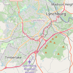
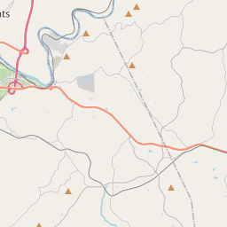
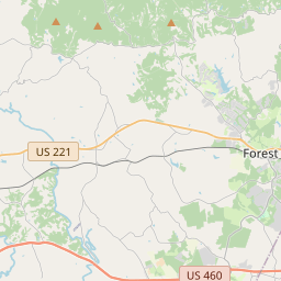
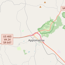
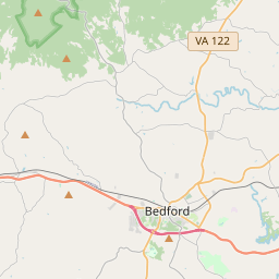
Locationbig map

| UTM (WGS84 Datum) | 17S E 661710 N 4139640 |
|---|---|
| Decimal Degrees | 37.38943333, -79.17326667 |
| Degrees and Decimal Minutes | N 37° 23.366', W 79° 10.396' |
| Degrees, Minutes and Seconds | 37° 23' 21.96" N, 79° 10' 23.76" W |
| Driving Directions | Google Maps |
| Area Code(s) | 434 |
| Closest Postal Address | At or near 3786-3812 US-460 BUS, Lynchburg VA 24501, US |
| Alternative Maps | Google Maps, MapQuest, Bing Maps, Yahoo Maps, MSR Maps, OpenCycleMap, MyTopo Maps, OpenStreetMap |
Is this marker missing? Are the coordinates wrong? Do you have additional information that you would like to share with us? If so, check in.
Nearby Markersshow on map
Maintenance Issues
- What historical period does the marker represent?
- What historical place does the marker represent?
- What type of marker is it?
- What class is the marker?
- What style is the marker?
- Does the marker have a number?
- What year was the marker erected?
- This marker needs at least one picture.
- Can this marker be seen from the road?
- Is the marker in the median?
Comments 0 comments