Inscription
For God and Country
In memory of those who served in the Armed Forces of our country. Bill Brown Post No. 507 American Legion
In memory of those who served in the Armed Forces of our country. Bill Brown Post No. 507 American Legion
Details
| HM Number | HMYOB |
|---|---|
| Tags | |
| Marker Condition | No reports yet |
| Date Added | Friday, October 17th, 2014 at 7:12pm PDT -07:00 |
Pictures
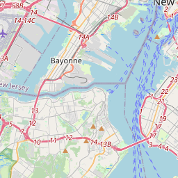
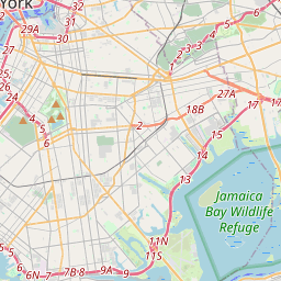
Locationbig map

| UTM (WGS84 Datum) | 18T E 589081 N 4493610 |
|---|---|
| Decimal Degrees | 40.58850000, -73.94731667 |
| Degrees and Decimal Minutes | N 40° 35.31', W 73° 56.839' |
| Degrees, Minutes and Seconds | 40° 35' 18.60" N, 73° 56' 50.34" W |
| Driving Directions | Google Maps |
| Area Code(s) | 718, 917, 212 |
| Closest Postal Address | At or near 2101-2199 Jerome Ave, New Orleans NY 11235, US |
| Alternative Maps | Google Maps, MapQuest, Bing Maps, Yahoo Maps, MSR Maps, OpenCycleMap, MyTopo Maps, OpenStreetMap |
Is this marker missing? Are the coordinates wrong? Do you have additional information that you would like to share with us? If so, check in.
Nearby Markersshow on map
Show me all markers in: New Orleans, NY | Kings County | 11235 | New York | United States of America
Maintenance Issues
- Is this marker part of a series?
- What historical period does the marker represent?
- What historical place does the marker represent?
- What type of marker is it?
- What class is the marker?
- What style is the marker?
- Does the marker have a number?
- What year was the marker erected?
- Who or what organization placed the marker?
- This marker needs at least one picture.
- Can this marker be seen from the road?
- Is the marker in the median?
Comments 0 comments