Inscription
Begun 1785. Congressman James Stewart gave land. J. C. McLaurin, who founded Laurinburg, and many Scots buried here. Two miles southwest.
Details
| HM Number | HM1217 |
|---|---|
| Tags | |
| Marker Number | I-57 |
| Year Placed | 1967 |
| Placed By | NC Archives and Highways Departments |
| Marker Condition | No reports yet |
| Date Added | Wednesday, October 1st, 2014 at 7:53pm PDT -07:00 |
Pictures
Locationbig map


| UTM (WGS84 Datum) | 17S E 646398 N 3846983 |
|---|---|
| Decimal Degrees | 34.75450000, -79.40050000 |
| Degrees and Decimal Minutes | N 34° 45.27', W 79° 24.03' |
| Degrees, Minutes and Seconds | 34° 45' 16.20" N, 79° 24' 1.80" W |
| Driving Directions | Google Maps |
| Area Code(s) | 910 |
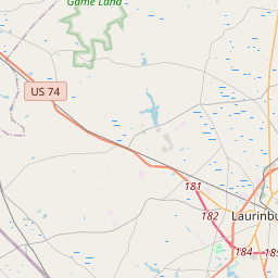
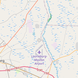
| Closest Postal Address | At or near 13121 N Rocky Ford Rd, Maxton NC 28364, US |
| Alternative Maps | Google Maps, MapQuest, Bing Maps, Yahoo Maps, MSR Maps, OpenCycleMap, MyTopo Maps, OpenStreetMap |
Is this marker missing? Are the coordinates wrong? Do you have additional information that you would like to share with us? If so, check in.
Nearby Markersshow on map
Show me all markers in: Maxton, NC | Scotland County | 28364 | North Carolina | United States of America
Maintenance Issues
- Is this marker part of a series?
- What historical period does the marker represent?
- What historical place does the marker represent?
- What type of marker is it?
- What class is the marker?
- What style is the marker?
- This marker needs at least one picture.
- Can this marker be seen from the road?
- Is the marker in the median?
Comments 0 comments