Inscription
In 1608, English explorer Captain John Smith conducted two expeditions on the Chesapeake Bay. He was charged by the Virginia Company to seek precious metals and a water passage to the Pacific. His first voyage focused on the Bay's western shore. His second trip took him to the head of the Bay, where he explored what are known today as the Sassafras, Northeast and Susquehanna rivers. While on the Sassafras, Smith encountered a group of American Indians known as the Tockwogh. Though Smith did not find gold, silver or a "Northwest Passage," his writings and maps served as important guides for future explorers and settlers in the Bay region.
Inset
Smith and his crew rowed and sailed a 28-foot open boat (shallop) throughout the Chesapeake Bay and along several tributaries.
Map
Smith's remarkably accurate map of the Chesapeake Bay was published in 1612. (North is to the right)
Black Inset
Sultana Projects, Inc. - based in Chestertown - replicated Smith's 1608 Chesapeake voyages during the summer of 2007 to launch the Captain John Smith Chesapeake National Historic Trail. Established by Congress in 2005, the Trail commemorates Smith's epic voyages and their import in American history. Visit www.smithtrail.net or www.sultanaprojects.org to learn more.
Details
| HM Number | HM17PO |
|---|---|
| Tags | |
| Placed By | Chesapeake Bay Gateways Network |
| Marker Condition | No reports yet |
| Date Added | Thursday, October 16th, 2014 at 4:15am PDT -07:00 |
Pictures
Locationbig map
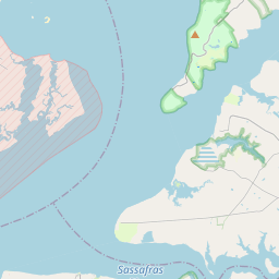

| UTM (WGS84 Datum) | 18S E 415152 N 4356575 |
|---|---|
| Decimal Degrees | 39.35446667, -75.98478333 |
| Degrees and Decimal Minutes | N 39° 21.268', W 75° 59.087' |
| Degrees, Minutes and Seconds | 39° 21' 16.08" N, 75° 59' 5.22" W |
| Driving Directions | Google Maps |
| Area Code(s) | 410 |
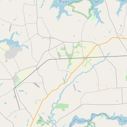
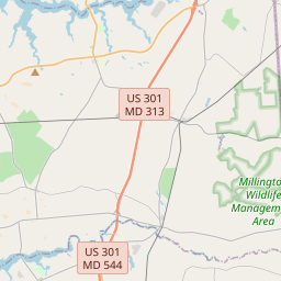
| Closest Postal Address | At or near 13761 Turners Creek Rd, Kennedyville MD 21645, US |
| Alternative Maps | Google Maps, MapQuest, Bing Maps, Yahoo Maps, MSR Maps, OpenCycleMap, MyTopo Maps, OpenStreetMap |
Is this marker missing? Are the coordinates wrong? Do you have additional information that you would like to share with us? If so, check in.
Nearby Markersshow on map
Show me all markers in: Kennedyville, MD | Kent County | 21645 | Maryland | United States of America
Maintenance Issues
- Is this marker part of a series?
- What historical period does the marker represent?
- What historical place does the marker represent?
- What type of marker is it?
- What class is the marker?
- What style is the marker?
- Does the marker have a number?
- What year was the marker erected?
- This marker needs at least one picture.
- Can this marker be seen from the road?
- Is the marker in the median?
Comments 0 comments