Inscription
First called Camp Pond Creek, Fort Wallace was established in 1865. The fort served as the headquarters for troops given the task of protecting travelers headed west along the Smoky Hill Trail to the Denver gold fields. Fort Wallace was the westernmost military outpost in Kansas, and from 1865 to 1878 served as one of the most active military posts in the Central Plains. Troops often spent time in the field, and the fort was several times attacked by Plains Indians striving to defend their lands and protect their way of life.
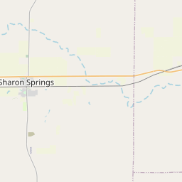
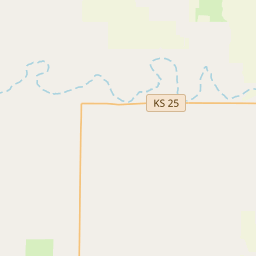
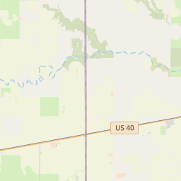
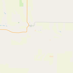
The fort was located about two miles to the southeast of this marker. Abandoned in 1882, nothing is now visible of the stone and wood buildings where once more than 300 men were stationed.
Just north of where the fort once stood, the old post cemetery still exists, enclosed by stone walls within the Wallace Township Cemetery. In 1867 U.S. soldiers erected a monument as a tribute to their comrades who had been killed in action and buried there. Although the soldiers' remains were later moved to Fort Leavenworth National Cemetery, the monument still stands in their honor.
Details
| HM Number | HM1H6V |
|---|---|
| Series | This marker is part of the Kansas: Kansas Historical Society series |
| Tags | |
| Marker Number | 44 |
| Placed By | Kansas State Historical Society & Kansas Department of Transportation. |
| Marker Condition | No reports yet |
| Date Added | Friday, September 19th, 2014 at 10:03am PDT -07:00 |
Pictures
Locationbig map


| UTM (WGS84 Datum) | 14S E 276055 N 4309992 |
|---|---|
| Decimal Degrees | 38.91028333, -101.58276667 |
| Degrees and Decimal Minutes | N 38° 54.617', W 101° 34.966' |
| Degrees, Minutes and Seconds | 38° 54' 37.02" N, 101° 34' 57.96" W |
| Driving Directions | Google Maps |
| Area Code(s) | 785 |
| Which side of the road? | Marker is on the right when traveling West |
| Closest Postal Address | At or near 335-397 S 5th St, Everest KS 66424, US |
| Alternative Maps | Google Maps, MapQuest, Bing Maps, Yahoo Maps, MSR Maps, OpenCycleMap, MyTopo Maps, OpenStreetMap |
Is this marker missing? Are the coordinates wrong? Do you have additional information that you would like to share with us? If so, check in.
Nearby Markersshow on map
Maintenance Issues
- What historical period does the marker represent?
- What historical place does the marker represent?
- What type of marker is it?
- What class is the marker?
- What style is the marker?
- What year was the marker erected?
- This marker needs at least one picture.
- Can this marker be seen from the road?
- Is the marker in the median?
Comments 0 comments