Inscription
When the Kansas Territory was created in 1854, it stretched all the way to the Rocky Mountains. The current state boundary, a few miles west of here, took effect in 1861 when Kansas was admitted into the Union and the Colorado Territory was established. Thousands of Colorado-bound pioneers passed through here along the Smoky Hill Trail by wagon and on the Butterfield Overland Despatch. Beginning in 1865 this famous stage line carried passengers, freight, and mail from the eastern point of the railroad to Denver. The Omaha Herald cautioned stagecoach passengers to "expect annoyance, discomfort, and some hardships," although humorist and author Mark Twain found travel to be an adventure.
"Our coach was a great swinging and swaying stage, of the most sumptuous description—an imposing cradle on wheels. It was drawn by six handsome horses."—Mark Twain, 1861
In 1865, Fort Wallace was established as a U.S. Cavalry outpost, about 25 miles east of here. The stage line operated until the railroad was completed in 1870.
Details
| HM Number | HM1H6P |
|---|---|
| Series | This marker is part of the Kansas: Kansas Historical Society series |
| Tags | |
| Marker Number | 45 |
| Placed By | The State of Kansas. |
| Marker Condition | No reports yet |
| Date Added | Wednesday, October 1st, 2014 at 9:33pm PDT -07:00 |
Pictures
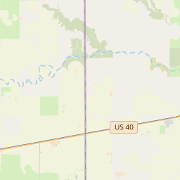
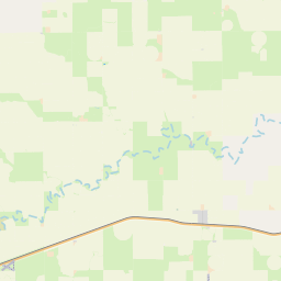
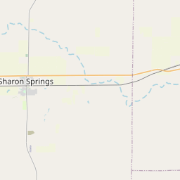
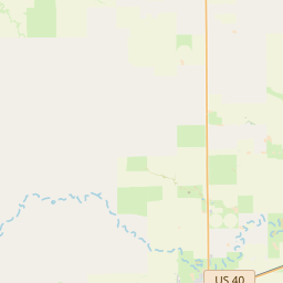
Locationbig map


| UTM (WGS84 Datum) | 14S E 242359 N 4306355 |
|---|---|
| Decimal Degrees | 38.86831667, -101.96956667 |
| Degrees and Decimal Minutes | N 38° 52.099', W 101° 58.174' |
| Degrees, Minutes and Seconds | 38° 52' 5.94" N, 101° 58' 10.44" W |
| Driving Directions | Google Maps |
| Area Code(s) | 719 |
| Closest Postal Address | At or near 27-99 W 2nd St N, Weskan KS 80810, US |
| Alternative Maps | Google Maps, MapQuest, Bing Maps, Yahoo Maps, MSR Maps, OpenCycleMap, MyTopo Maps, OpenStreetMap |
Is this marker missing? Are the coordinates wrong? Do you have additional information that you would like to share with us? If so, check in.
Nearby Markersshow on map
Maintenance Issues
- What historical period does the marker represent?
- What historical place does the marker represent?
- What type of marker is it?
- What class is the marker?
- What style is the marker?
- What year was the marker erected?
- This marker needs at least one picture.
- Can this marker be seen from the road?
- Is the marker in the median?
Comments 0 comments