Inscription
The Castro/Breen adobe is associated with the early development and settlement of Mexican California. The adobe is an excellent example of blended eastern and western building methods first produced in Monterey to form the Monterey Colonial architectural style. The adobe served as headquarters and residence to Jose Antonio Castro, Commandant General of Alta California, and later to Donner Party survivors Patrick Breen and family.The Plaza Hotel originated as a one-story adobe barracks and two-story guardhouse for soldiers protecting Mission San Juan Bautista across the street. After secularization in 1835, the building became a home and general store for the Anzar family. The building was rented and later sold to Italian immigrant Angelo Zanetta who added a wooden second story and opened the Plaza Hotel in January 1859. The hotel became noted for its fine cuisine and liquors. In the 1860s San Juan Bautista became a stop for seven stagecoach lines. The hotel welcomed travelers, business men, and traveling salesmen. When the New Idria quicksilver mine opened just to the southeast, even more patrons frequented the hotel.Rededicated 2014, the 150th anniversary of California State Parks
Details
| HM Number | HM1K7N |
|---|---|
| Series | This marker is part of the Native Sons/Daughters of the Golden West series |
| Tags | |
| Marker Number | 179 & 180 |
| Year Placed | 2014 |
| Placed By | California State Parks & Native Sons of the Golden West Historical Preservation Foundation |
| Marker Condition | No reports yet |
| Date Added | Monday, April 27th, 2015 at 6:01pm PDT -07:00 |
Pictures
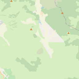
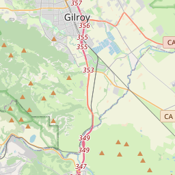
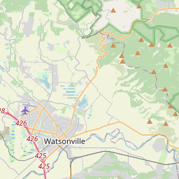
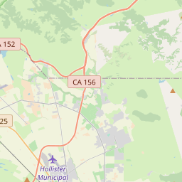
Locationbig map


| UTM (WGS84 Datum) | 10S E 630540 N 4078667 |
|---|---|
| Decimal Degrees | 36.84490000, -121.53586667 |
| Degrees and Decimal Minutes | N 36° 50.694', W 121° 32.152' |
| Degrees, Minutes and Seconds | 36° 50' 41.64" N, 121° 32' 9.12" W |
| Driving Directions | Google Maps |
| Area Code(s) | 831, 408 |
| Which side of the road? | Marker is on the right when traveling East |
| Closest Postal Address | At or near 3 2nd St, San Juan Bautista CA 95045, US |
| Alternative Maps | Google Maps, MapQuest, Bing Maps, Yahoo Maps, MSR Maps, OpenCycleMap, MyTopo Maps, OpenStreetMap |
Is this marker missing? Are the coordinates wrong? Do you have additional information that you would like to share with us? If so, check in.
Nearby Markersshow on map
Show me all markers in: San Juan Bautista, CA | San Benito County | 95045 | California | United States of America
Maintenance Issues
- What historical period does the marker represent?
- What historical place does the marker represent?
- What type of marker is it?
- What class is the marker?
- What style is the marker?
- This marker needs at least one picture.
- Can this marker be seen from the road?
- Is the marker in the median?
Comments 0 comments