Inscription
Headquarters Hill
John Strode, a prominent Revolutionary War gun manufacturer, built his manor house, Fleetwood, in the late 1700s. Strode was a friend of President Thomas Jefferson, who often stayed here when traveling between Monticello and Washington, D.C. The mansion that gave the hill its name was greatly damaged by the war, finally collapsing in the late 1800s.Fleetwood Hill, this "Famous Plateau," was used as a headquarters platform several times. Confederate Gen. Joseph E. Johnston first exploited Fleetwood's position overlooking the the Rappahannock River in March 1862. Confederate Gen. J.E.B. Stuart established his headquarters here in May 1863, before the Battle of Brandy Station began on June 9. The following month, Gen. Robert E. Lee traversed the storied hill, leaving his cavalry as rear guard atop Fleetwood. That fall, Union Gen. George E. Meade's headquarters occupied Fleetwood briefly before Lee returned and camped here. During the Union winter camp of 1863-1864, the headquarters of the Army of the Potomac and the Third Corps were located on Fleetwood Hill.
"The country around Brandy Station is open, particularly suitable for a cavalry engagement. Fleetwood, the coveted hill, was the key to the entire situation, and here the fight was everywhere most fierce."
—Gen. David M. Gregg, USA
"The high hill upon which I slept the night before the battle is called Fleetwood and it is a fine military position. About noon on June 9, we had a fight for it."
—Gen. J.E.B. Stuart, CSA
Details
| HM Number | HM1U5J |
|---|---|
| Series | This marker is part of the Virginia Civil War Trails series |
| Tags | |
| Placed By | Virginia Civil War Trails, Civil War Trust |
| Marker Condition | No reports yet |
| Date Added | Tuesday, September 6th, 2016 at 9:02am PDT -07:00 |
Pictures
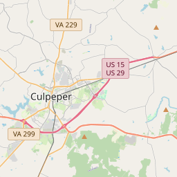
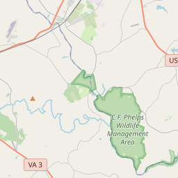
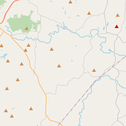
Locationbig map
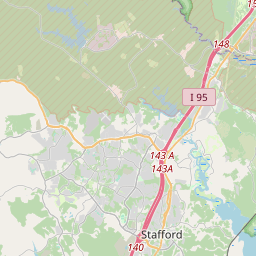

| UTM (WGS84 Datum) | 18S E 248925 N 4266275 |
|---|---|
| Decimal Degrees | 38.50948333, -77.87946667 |
| Degrees and Decimal Minutes | N 38° 30.569', W 77° 52.768' |
| Degrees, Minutes and Seconds | 38° 30' 34.14" N, 77° 52' 46.08" W |
| Driving Directions | Google Maps |
| Area Code(s) | 540 |
| Which side of the road? | Marker is on the right when traveling East |
| Closest Postal Address | At or near 20362 Fleetwood Heights Rd, Brandy Station VA 22714, US |
| Alternative Maps | Google Maps, MapQuest, Bing Maps, Yahoo Maps, MSR Maps, OpenCycleMap, MyTopo Maps, OpenStreetMap |
Is this marker missing? Are the coordinates wrong? Do you have additional information that you would like to share with us? If so, check in.
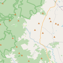
Nearby Markersshow on map
Show me all markers in: Brandy Station, VA | Culpeper County | 22714 | Virginia | United States of America
Battle of Brandy Station Historical
Battle of Brandy Station Historical
Battle of Brandy Station Historical
Battle of Brandy Station Historical
Battle of Brandy Station Historical
Battle of Brandy Station Historical
George C. Hupp, a War Memorial
Battle of Brandy Station
Battle of Brandy Station
Battle of Brandy Station
Maintenance Issues
- What historical period does the marker represent?
- What historical place does the marker represent?
- What type of marker is it?
- What class is the marker?
- What style is the marker?
- Does the marker have a number?
- What year was the marker erected?
- This marker needs at least one picture.
- Can this marker be seen from the road?
- Is the marker in the median?
Comments 0 comments