Inscription
Butte La Rose Boat Landing
—Atchafalaya Water Heritage Trail —
The Atchafalaya River is North America's fifth-largest river according to discharge and, together with the Mississippi, accounts for about 90 percent of the freshwater discharge into the Gulf of Mexico.The Atchafalaya River is North America's fifth-largest river according to discharge. It releases an average of about 230,000 cubic feet of water every second. This river is also the major distributary of the Mississippi, carrying about a third of the combined flow of the Red and Mississippi rivers at Old River. Together, the Atchafalaya and Mississippi rivers account for about 90 percent of the freshwater discharge into the Gulf of Mexico.The Mississippi has changed course several times since the last ice age. This natural adjustment typically takes about 100 years to complete and happens when one of the river's distributaries becomes hydraulically more efficient by offering a shorter, steeper route to the Gulf. Because the Atchafalaya River is currently the quickest route to the Gulf, the Mississippi has been trying to switch to this channel since the late 1800s. At first the Atchafalaya captured only a small, sporadic flow of water that occasionally reversed directions. But through a combination of natural and man-made events, the flow capture increased until it reached about 30 percent by 1960. In 1963, the Old
River Control Structure near Simmesport was built to prevent even more water from leaving the Mississippi channel to follow the Atchafalaya. If not for human engineering and river control, today visitors would likely see the Mississippi from these banks instead of the Atchafalaya.
Due to its proximity on the Atchafalaya, this area has historically been an important site for transportation and commerce. In the spring of 1863, an important Civil War battle took place at the former site of Fort Burton, located directly across from the boat landing on the river's eastern shore. In Butte La Rose's early days as a settlement, residents traveled by skiffs and boats to nearby towns, and a boat bus brought students to and from school. Today, the town is the only Atchafalaya Basin community still located within the Basin levees. Access to this isolated area is now facilitated by the Butte La Rose Interstate 10 exit and local roads, but residents remain closely tied to the Atchafalaya River and the swamps through which it flows. And even though the town is positioned on a high bank along the river, it is not immune from flooding during high water events. The Atchafalaya's flood stage above Butte La Rose is 20 feet, compared to 47 feet upriver in Simmesport. The river stage at Butte La Rose has become an indicator of the current water level in the floodway, although increased sedimentation
in the old Atchafalaya River segment no longer accurately represents stages in the isolated swamps to the south.Visit Atchafalaya.org for more information about this site.This site's geology/geomorphology: Holocene crevasse splay deposits of the Atchafalaya River.
Pictures
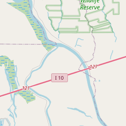
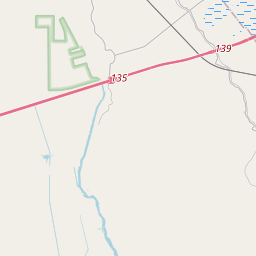
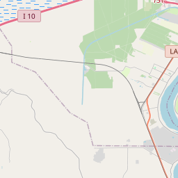
Locationbig map


| UTM (WGS84 Datum) | 15R E 626386 N 3350548 |
|---|---|
| Decimal Degrees | 30.28005000, -91.68593333 |
| Degrees and Decimal Minutes | N 30° 16.803', W 91° 41.156' |
| Degrees, Minutes and Seconds | 30° 16' 48.18" N, 91° 41' 9.3599999999999" W |
| Driving Directions | Google Maps |
| Area Code(s) | 318, 337 |
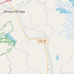
| Closest Postal Address | At or near Herman Dupis Rd, Breaux Bridge LA 70517, US |
| Alternative Maps | Google Maps, MapQuest, Bing Maps, Yahoo Maps, MSR Maps, OpenCycleMap, MyTopo Maps, OpenStreetMap |
Is this marker missing? Are the coordinates wrong? Do you have additional information that you would like to share with us? If so, check in.
Nearby Markersshow on map
Show me all markers in: Breaux Bridge, LA | St. Martin Parish | 70517 | Louisiana | United States of America
Maintenance Issues
- What historical period does the marker represent?
- What historical place does the marker represent?
- What type of marker is it?
- What class is the marker?
- What style is the marker?
- Does the marker have a number?
- What year was the marker erected?
- This marker needs at least one picture.
- Can this marker be seen from the road?
- Is the marker in the median?
Comments 0 comments