Inscription
Born in Lockhart, Alabama in 1915, Tarzan played alongside Bear Bryant on the University of Alabama's 1934 National Championship Team and was honored as an All-American in 1936. He went on to play for the New York Giants, winning a NFL Championship in 1938. Tarzan was also a professional wrestler during the football off-season, winning multiple heavyweight championship titles. He moved to Cherokee County and coached football at Gaylesville during 1954. He was the mail carrier for the Jamestown/Gaylesville area and continued wrestling into his 60's. Tarzan resided in Jamestown until his death in 1996.
Details
| HM Number | HM265I |
|---|---|
| Tags | |
| Placed By | Cherokee County Historical Society |
| Marker Condition | No reports yet |
| Date Added | Friday, March 23rd, 2018 at 10:02am PDT -07:00 |
Pictures
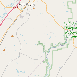
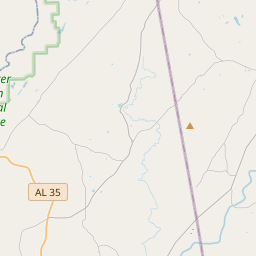
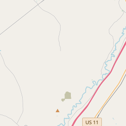
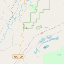
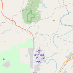
Locationbig map

| UTM (WGS84 Datum) | 16S E 630754 N 3807152 |
|---|---|
| Decimal Degrees | 34.39753333, -85.57750000 |
| Degrees and Decimal Minutes | N 34° 23.852', W 85° 34.65' |
| Degrees, Minutes and Seconds | 34° 23' 51.12" N, 85° 34' 39" W |
| Driving Directions | Google Maps |
| Area Code(s) | 256 |
| Which side of the road? | Marker is on the right when traveling South |
| Closest Postal Address | At or near 3410 County Rd 15, Gaylesville AL 35973, US |
| Alternative Maps | Google Maps, MapQuest, Bing Maps, Yahoo Maps, MSR Maps, OpenCycleMap, MyTopo Maps, OpenStreetMap |
Is this marker missing? Are the coordinates wrong? Do you have additional information that you would like to share with us? If so, check in.
Nearby Markersshow on map
Show me all markers in: Gaylesville, AL | Cherokee County | 35973 | Alabama | United States of America
Maintenance Issues
- Is this marker part of a series?
- What historical period does the marker represent?
- What historical place does the marker represent?
- What type of marker is it?
- What class is the marker?
- What style is the marker?
- Does the marker have a number?
- What year was the marker erected?
- This marker needs at least one picture.
- Can this marker be seen from the road?
- Is the marker in the median?
Comments 0 comments