Inscription
THE HINCKLEY FIRE
Between three and five o'clock on the afternoon of September 1, 1894, a raging forest fire driven by strong southwest winds swept over the town of Hinckley, killing 248 residents. The conflagration burned over 480 square miles in parts of five counties, also consuming the surrounding towns of Brook Park, Mission Creek, Miller, Partridge, and Sandstone. At least 418 people died in the disaster. Trains of the St. Paul and Duluth railroad and the Eastern Minnesota Railroad carried nearly 500 people to safety through the burning countryside. More than 1,500 individuals lost their homes and possessions, with fire relief efforts receiving donations from as far away as London and even Turkey as news of the tragedy spread. The mass graves of the Hinckley townspeople who died in the fire are marked by a state monument in Lutheran Memorial Cemetery. The Hinckley fire was among the worst of many that followed the end of large scale pine logging operations in northern Minnesota. As the virgin red and white pine was removed, a tinder-dry refuse of stumps, slashings, and brush provided ready fuel for several other disastrous fires, including those at Baudette in 1910 and at Cloquet in 1918.
1985
The following is the text of the original marker that was placed in the NYA-built structure in 1939:
HINCKLEY FIRE
On September 1, 1894, a terrific forest fire, driven by high wind, swept through the western part of Pine County. Hinckley and several other places were completely wiped out and over 400 persons lost their lives in the region. A state monument for the victims stands in the Hinckley Cemetery.
Details
| HM Number | HM2BJD |
|---|---|
| Series | This marker is part of the Minnesota NYA Projects series, and the Minnesota Department of Highways series, and the Minnesota Historical Society series. |
| Tags | |
| Historical Period | 19th Century |
| Historical Place | Town, Other, Cemetery |
| Marker Type | Other |
| Marker Class | Historical Marker |
| Marker Style | Mounted |
| Year Placed | 1985 |
| Placed By | Minnesota Historical Society, Minnesota Dept. of Highways |
| Marker Condition | No reports yet |
| Date Added | Friday, September 21st, 2018 at 5:48am PDT -07:00 |
Pictures

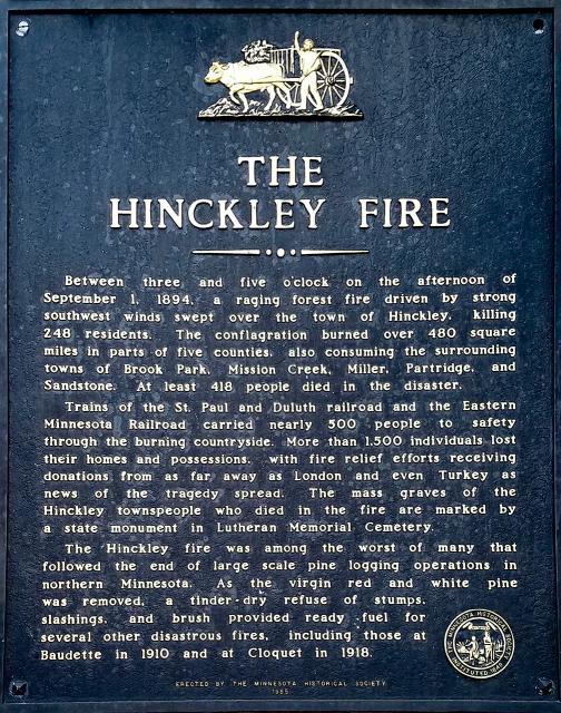

Photo Credits: [1] MARTHA DECKER [2] MARTHA DECKER
Locationbig map
| Location Description | The marker is mounted in a stone monument at a wayside on Old US 61 on the north end of town, The wayside, formerly a prominent sight on US Hwy 61, was constructed by the NYA (National Youth Administration) in 1939. |
|---|---|
| UTM (WGS84 Datum) | 15T E 504632 N 5096348 |
| Decimal Degrees | 46.02069300, -92.94015200 |
| Degrees and Decimal Minutes | N 46° 1.2416', W 92° 56.4091' |
| Degrees, Minutes and Seconds | 46° 1' 14.4948" N, 92° 56' 24.5472" W |
| Driving Directions | Google Maps |
| Area Code(s) | 320 |
| Can be seen from road? | Yes |
| Is marker in the median? | No |
| Which side of the road? | Marker is on the right when traveling North |
| Closest Postal Address | At or near 501 Old Hwy 61 N, Hinckley MN 55037, US |
| Alternative Maps | Google Maps, MapQuest, Bing Maps, Yahoo Maps, MSR Maps, OpenCycleMap, MyTopo Maps, OpenStreetMap |
Is this marker missing? Are the coordinates wrong? Do you have additional information that you would like to share with us? If so, check in.
Nearby Markersshow on map
Comments 0 comments