Inscription
Historic Sites of Industry in the Jones Falls Valley
Woodberry Factory and Park Mill were built near the site of an 18th-century grist mill. An active industrial area for nearly two centuries, buildings here have been replaced and repurposed to meet changing demands for production of everything from textiles and netting in the 19th century to rubber tires and ice cream cones in the 20th century.In 1843 industrialists Horatio Gambrill and David Carroll built the Woodberry Factory. By the end of the century it had become part of Mount Vernon-Woodberry Cotton Duck Company, a conglomerate that dominated the textile industry in the Jones Falls Valley. The stone duplexes they built nearby for mill workers established the Woodberry community.
The site expanded in 1855 with the construction of Park Mill for production of cotton fishing nets. In the 1920s, the company began shuttering its mills in favor of its factories in the South. In 1924, Frank G. Schenuit Rubber Co. purchased the Woodberry Factory. After a 1929 fire, the original factory was replaced with the extant brick structure. When Park Mill sold in 1925, several small companies located here, among them the Commercial Envelope Company and Bes-Cone, maker of ice cream cones.
Today, Park Mill is leased to a number of small businesses. The Schenuit factory remains empty after yet another fire, one of the
only major industrials buildings in the Jones Falls Valley awaiting redevelopment.
Details
| HM Number | HM2K9P |
|---|---|
| Tags | |
| Placed By | Baltimore Heritage Organization |
| Marker Condition | No reports yet |
| Date Added | Tuesday, September 3rd, 2019 at 2:03pm PDT -07:00 |
Pictures
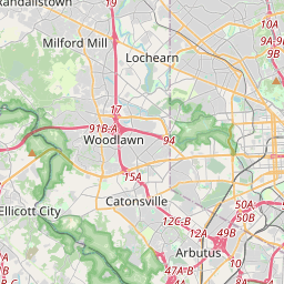
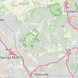
Locationbig map


| UTM (WGS84 Datum) | 18S E 358314 N 4354945 |
|---|---|
| Decimal Degrees | 39.33233333, -76.64391667 |
| Degrees and Decimal Minutes | N 39° 19.94', W 76° 38.635' |
| Degrees, Minutes and Seconds | 39° 19' 56.4" N, 76° 38' 38.1" W |
| Driving Directions | Google Maps |
| Closest Postal Address | At or near , , |
| Alternative Maps | Google Maps, MapQuest, Bing Maps, Yahoo Maps, MSR Maps, OpenCycleMap, MyTopo Maps, OpenStreetMap |
Is this marker missing? Are the coordinates wrong? Do you have additional information that you would like to share with us? If so, check in.
Maintenance Issues
- What country is the marker located in?
- Is this marker part of a series?
- What historical period does the marker represent?
- What historical place does the marker represent?
- What type of marker is it?
- What class is the marker?
- What style is the marker?
- Does the marker have a number?
- What year was the marker erected?
- This marker needs at least one picture.
- Can this marker be seen from the road?
- Is the marker in the median?

Comments 0 comments