Inscription
"Father of the Interstate Highway System"
In August 1973, the U.S. Congress designated a cross-country stretch of Interstate as the "Dwight D. Eisenhower Highway," in tribute to President Eisenhower's early recognition of the need for a national network of highways to enhance the mobility of a growing nation. His dream originated in 1919 on an Army convoy from Washington, D.C., to San Francisco, California, a journey that took 62 days.On June 29, 1956, President Eisenhower signed the historic legislation that created the National System of Interstate and Defense Highways and the Federal Highway Trust Fund, the pay-as-you-go mechanism through which U.S. motorists have funded the construction and upkeep of the U.S. highway system.
Today, that system stands as a monument to Eisenhower's vision as a young Army officer—a legacy of safety and mobility that has brought all Americans closer together.
Details
| HM Number | HM411 |
|---|---|
| Tags | |
| Placed By | The American Traffic Safety Services Association and the Road Information Program |
| Marker Condition | No reports yet |
| Date Added | Thursday, October 16th, 2014 at 11:50pm PDT -07:00 |
Pictures
Locationbig map
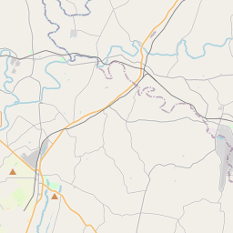

| UTM (WGS84 Datum) | 18S E 276391 N 4378226 |
|---|---|
| Decimal Degrees | 39.52460000, -77.60148333 |
| Degrees and Decimal Minutes | N 39° 31.476', W 77° 36.089' |
| Degrees, Minutes and Seconds | 39° 31' 28.56" N, 77° 36' 5.34" W |
| Driving Directions | Google Maps |
| Area Code(s) | 304, 301, 240 |
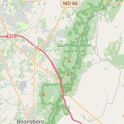
| Closest Postal Address | At or near 4835 I-70, Myersville MD 21773, US |
| Alternative Maps | Google Maps, MapQuest, Bing Maps, Yahoo Maps, MSR Maps, OpenCycleMap, MyTopo Maps, OpenStreetMap |
Is this marker missing? Are the coordinates wrong? Do you have additional information that you would like to share with us? If so, check in.
Nearby Markersshow on map
Maintenance Issues
- Is this marker part of a series?
- What historical period does the marker represent?
- What historical place does the marker represent?
- What type of marker is it?
- What class is the marker?
- What style is the marker?
- Does the marker have a number?
- What year was the marker erected?
- This marker needs at least one picture.
- Can this marker be seen from the road?
- Is the marker in the median?
Comments 0 comments