Inscription
One of two officers in Lafayette's Army who, according to tradition, were so struck with the view from here that they vowed to return after the Revolution. Greme did settle nearby with his family and in 1850 he was buried beside Trappe Church, then a Chapel of Ease (established 1760) of St. George's Episcopal Parish. Present stone building dates from 1875.
Details
| HM Number | HM70 |
|---|---|
| Tags | |
| Placed By | Maryland Bicentennial Commission & Maryland Historical Society |
| Marker Condition | No reports yet |
| Date Added | Tuesday, September 23rd, 2014 at 1:55pm PDT -07:00 |
Pictures
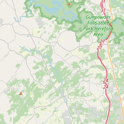
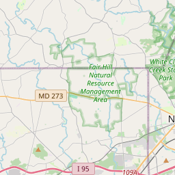
Locationbig map


| UTM (WGS84 Datum) | 18S E 391982 N 4385992 |
|---|---|
| Decimal Degrees | 39.61688333, -76.25841667 |
| Degrees and Decimal Minutes | N 39° 37.013', W 76° 15.505' |
| Degrees, Minutes and Seconds | 39° 37' 0.78" N, 76° 15' 30.30" W |
| Driving Directions | Google Maps |
| Area Code(s) | 410 |
| Closest Postal Address | At or near 1444 Trappe Rd, Street MD 21154, US |
| Alternative Maps | Google Maps, MapQuest, Bing Maps, Yahoo Maps, MSR Maps, OpenCycleMap, MyTopo Maps, OpenStreetMap |
Is this marker missing? Are the coordinates wrong? Do you have additional information that you would like to share with us? If so, check in.
Nearby Markersshow on map
Maintenance Issues
- Is this marker part of a series?
- What historical period does the marker represent?
- What historical place does the marker represent?
- What type of marker is it?
- What class is the marker?
- What style is the marker?
- Does the marker have a number?
- What year was the marker erected?
- This marker needs at least one picture.
- Can this marker be seen from the road?
- Is the marker in the median?
Comments 0 comments