Inscription
BuNo. 149932
The SH-3 Sea King replaced the H34 as the US Navy's standard ASW ( Anti-Submarine Warfare) helicopter from the 1960s to the 1990s. A watertight "boat" hull and stabilizing floats gave the Sea King short term amphibious capability. Several Sea Kings were modified for air-sea rescue during the Vietnam War. On 27 December 1968, the crew of the Apollo 8 were recovered and brought aboard Yorktown by a Sea King. The Sea King was replaced by the SH-60 Sea Hawk as the US Navy's primary sea-based ASW and SAR (search and rescue) platform.The US Marine manned Sea King (VH-3D VIP) is the primary presidential helicopter. This aircraft is known as "Marine One" when the President of the United States is on board.
Manufacturer: Sikorsky
Type: ASW and SAR helicopter
Crew: two pilots, two systems operators
Powerplant: two 14,000 hp General Electric T58-GE-10 turboshafts
Rotor span: 62 ft (18.9 m)
Length: 54 ft 9 in (16.7 m )
Height: 16 ft 10 in (5.13 m)
Weight: 13,00 lbs (5,897 kg) empty; 21,000 lbs(9,525 kg) maximum
Armament: two MK 44/46 torpedoes,or depth-bombs (ASW)
Maximum Speed: 166 mph (267 km/h)
Combat radius: 250 miles (402 kilometers)
Service ceiling: 14,700 ft (4,485.5 m)
This aircraft is on loan from the National Museumof Naval Aviation at Pensacola, Florida
Details
| HM Number | HMCKZ |
|---|---|
| Tags | |
| Marker Condition | No reports yet |
| Date Added | Sunday, October 12th, 2014 at 12:16pm PDT -07:00 |
Pictures
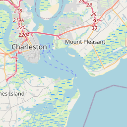
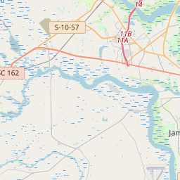
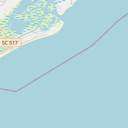
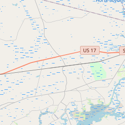
Locationbig map


| UTM (WGS84 Datum) | 17S E 602197 N 3628563 |
|---|---|
| Decimal Degrees | 32.79026667, -79.90860000 |
| Degrees and Decimal Minutes | N 32° 47.416', W 79° 54.516' |
| Degrees, Minutes and Seconds | 32° 47' 24.96" N, 79° 54' 30.96" W |
| Driving Directions | Google Maps |
| Area Code(s) | 843 |
| Closest Postal Address | At or near 40 Patriots Point Rd, Mt Pleasant SC 29464, US |
| Alternative Maps | Google Maps, MapQuest, Bing Maps, Yahoo Maps, MSR Maps, OpenCycleMap, MyTopo Maps, OpenStreetMap |
Is this marker missing? Are the coordinates wrong? Do you have additional information that you would like to share with us? If so, check in.
Maintenance Issues
- Is this marker part of a series?
- What historical period does the marker represent?
- What historical place does the marker represent?
- What type of marker is it?
- What class is the marker?
- What style is the marker?
- Does the marker have a number?
- What year was the marker erected?
- Who or what organization placed the marker?
- This marker needs at least one picture.
- Can this marker be seen from the road?
- Is the marker in the median?
Comments 0 comments