Inscription
Lancaster-York Heritage Region
— Susquehanna River Water Trail —
Although the Susquehanna has long been a north-south transportation corridor, it was an impediment to east-west traffic. As early as the seventeenth century,ferries emerged at various points along the river to overcome this barrier. John Wright, an enterprising Quaker, began operating a ferry in this area in 1730.During the Revolutionary War, Patriot forces put this east-west barrier to good use. With British troops occupying Philadelphia in late 1777, the Continental Congress retreated westward, crossed the Susquehanna on Wright's Ferry, and established a capital in nearby York City for nine months. The river helped protect the fledgling American government from hostile British troops.
In 1814, the first bridge connecting Wrightsville and Columbia was completed. It was the longest covered bridge in the world (5,690 feet). Since then, five additional bridges have spanned the Susquehanna at this site. Of the six, two were destroyed by natural forces, and one was burned in 1863 by Union militiamen and townspeople to prevent Confederate forces from invading Lancaster County and reaching Harrisburg.
In the decades before the Civil War, the Susquehanna served as a south-north escape route for fugitive slaves who traveled the clandestine Underground Railroad in their quest for freedom.
Details
| HM Number | HML9T |
|---|---|
| Tags | |
| Marker Condition | No reports yet |
| Date Added | Saturday, October 4th, 2014 at 6:50pm PDT -07:00 |
Pictures
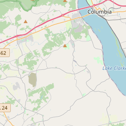
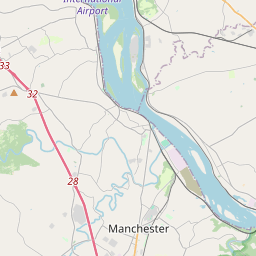
Locationbig map

| UTM (WGS84 Datum) | 18T E 369609 N 4432057 |
|---|---|
| Decimal Degrees | 40.02866667, -76.52815000 |
| Degrees and Decimal Minutes | N 40° 1.72', W 76° 31.689' |
| Degrees, Minutes and Seconds | 40° 1' 43.20" N, 76° 31' 41.34" W |
| Driving Directions | Google Maps |
| Area Code(s) | 717 |
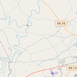
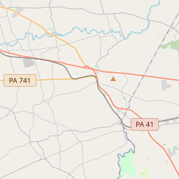
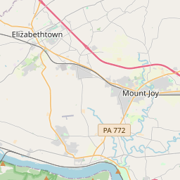
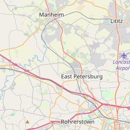
| Closest Postal Address | At or near 114 Walnut St, Wrightsville PA 17368, US |
| Alternative Maps | Google Maps, MapQuest, Bing Maps, Yahoo Maps, MSR Maps, OpenCycleMap, MyTopo Maps, OpenStreetMap |
Is this marker missing? Are the coordinates wrong? Do you have additional information that you would like to share with us? If so, check in.
Nearby Markersshow on map
Show me all markers in: Wrightsville, PA | York County | 17368 | Pennsylvania | United States of America
Maintenance Issues
- Is this marker part of a series?
- What historical period does the marker represent?
- What historical place does the marker represent?
- What type of marker is it?
- What class is the marker?
- What style is the marker?
- Does the marker have a number?
- What year was the marker erected?
- Who or what organization placed the marker?
- This marker needs at least one picture.
- Can this marker be seen from the road?
- Is the marker in the median?
Comments 0 comments