Inscription
Late in 1831, when Wisconsin was still in Michigan Territory, Lucius Lyon, U. S. Commissioner on the survey of the northern boundary of the State of Illinois, set a post and erected a mound of earth 6 feet square at the base and 6 feet high, at a point 1/2 mile east of here to mark the intersection of that boundary and the 4th Principal Meridian. The Wisconsin public land surveys were begun here in 1832 and were completed "up north" in 1867. Lyon surveyed 16 townships in S. W. Wisconsin in 1832-33, which opened this Territory for settlement. In 1833 Michigan Territory honored this veteran surveyor by electing him their Delegate to Congress. The post and mound he erected at this point were obliterated by fence and power line construction long ago, but the point is now preserved by a new concrete surveyor's monument. Every section corner monument in the state; the boundaries of each county, city, village, township, farm and lot; the position of roads, lakes and streams, all were surveyed and mapped from this Point of Beginning.
Details
| HM Number | HMQ48 |
|---|---|
| Series | This marker is part of the Wisconsin: Wisconsin Historical Society series |
| Tags | |
| Marker Number | 172 |
| Year Placed | 1979 |
| Marker Condition |  9 out of 10 (1 reports) |
| Date Added | Monday, September 29th, 2014 at 10:47am PDT -07:00 |
Pictures
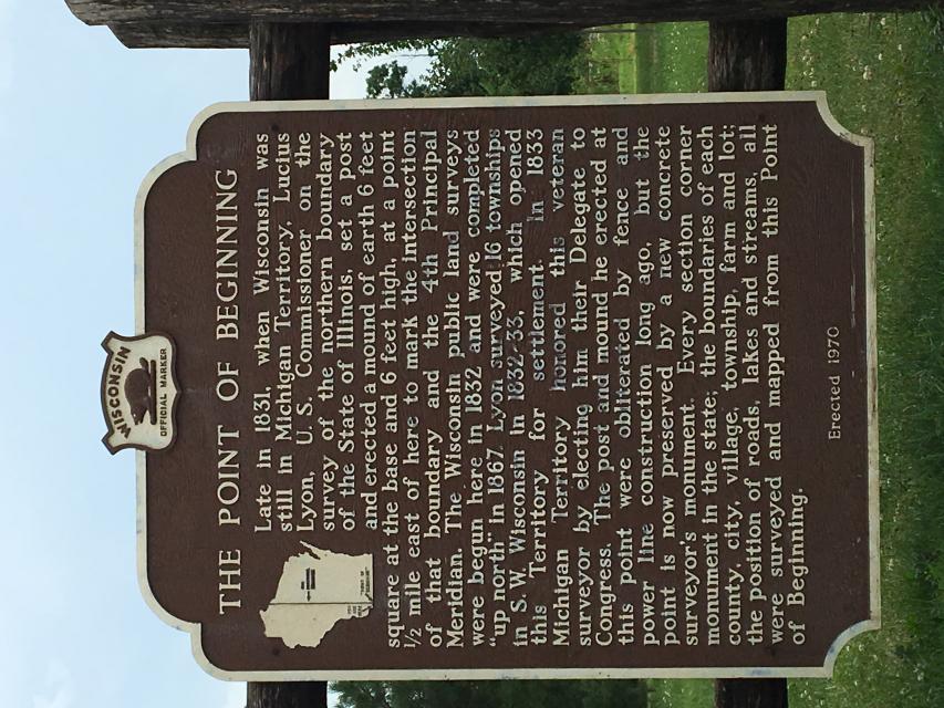
Photo Credits: [1] BRIAN HUBEN
Locationbig map
| UTM (WGS84 Datum) | 15T E 710608 N 4709345 |
|---|---|
| Decimal Degrees | 42.50781667, -90.43655000 |
| Degrees and Decimal Minutes | N 42° 30.469', W 90° 26.193' |
| Degrees, Minutes and Seconds | 42° 30' 28.14" N, 90° 26' 11.58" W |
| Driving Directions | Google Maps |
| Area Code(s) | 608 |
| Closest Postal Address | At or near 100-148 Wisconsin 80 Trunk, Hazel Green WI 53811, US |
| Alternative Maps | Google Maps, MapQuest, Bing Maps, Yahoo Maps, MSR Maps, OpenCycleMap, MyTopo Maps, OpenStreetMap |
Is this marker missing? Are the coordinates wrong? Do you have additional information that you would like to share with us? If so, check in.
Nearby Markersshow on map
Show me all markers in: Hazel Green, WI | El Dorado County | 53811 | Wisconsin | United States of America
Maintenance Issues
- What historical period does the marker represent?
- What historical place does the marker represent?
- What type of marker is it?
- What class is the marker?
- What style is the marker?
- Who or what organization placed the marker?
- This marker could use another picture or two.
- Can this marker be seen from the road?
- Is the marker in the median?
Comments 0 comments