Inscription
1912-1930
The first coast-to-coast auto route across the northern tier of states."A Good Road from Plymouth Rock to Puget Sound"
Before 1912 Railroads dominated long distance transportation. Local roads were dust and mud. There was little help from government so owners of the newly arrived autos rose to the challenge.
1912 Small town businessmen from South Dakota formed the Yellowstone Trail Association to "get out of the mud" and to pressure counties to build usable automobile roads.
They named the transcontinental auto road Yellowstone to draw tourists along it to the national park. Roads and autos were crude and travel was tough. With no maps tourists relied on guide books and yellow rocks to find their way.
1915 The Yellowstone Trail was extended across Wisconsin and reached both coasts by 1917. Yellow and black signs were posted across the country. In 1929, it was Wisconsin's first cross-state highway to be concrete.
Until 1930 Hundreds of towns supported the famous Yellowstone Trail. The Association created free campgrounds, travel bureaus, and publications to help the traveler.
1930 Route numbering (now an international system but created by the State of Wisconsin in 1918) reduced the need for named roads. Then the Depression spelled the end for all trail associations.
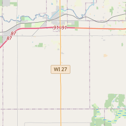
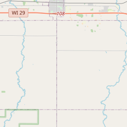
Yellowstone Trail in central Wisconsin [map]
This heritage sign is dedicated to the memory of Francis and Joyce Barquest Gannon by Robert and Judith Gannon Gilles; Mark, Tammy and Jordan Gilles and Memorials from Friends and Family.
Details
| HM Number | HMQTL |
|---|---|
| Tags | |
| Year Placed | 2005 |
| Placed By | John and Alice Ridge, (modern) Yellowstone Trail Association |
| Marker Condition | No reports yet |
| Date Added | Tuesday, September 30th, 2014 at 10:44am PDT -07:00 |
Pictures
Locationbig map


| UTM (WGS84 Datum) | 15T E 646169 N 4979468 |
|---|---|
| Decimal Degrees | 44.95361667, -91.14691667 |
| Degrees and Decimal Minutes | N 44° 57.217', W 91° 8.815' |
| Degrees, Minutes and Seconds | 44° 57' 13.02" N, 91° 8' 48.90" W |
| Driving Directions | Google Maps |
| Area Code(s) | 715 |
| Closest Postal Address | At or near 50 Park Place Rd, Cadott WI 54727, US |
| Alternative Maps | Google Maps, MapQuest, Bing Maps, Yahoo Maps, MSR Maps, OpenCycleMap, MyTopo Maps, OpenStreetMap |
Is this marker missing? Are the coordinates wrong? Do you have additional information that you would like to share with us? If so, check in.
Nearby Markersshow on map
Maintenance Issues
- Is this marker part of a series?
- What historical period does the marker represent?
- What historical place does the marker represent?
- What type of marker is it?
- What class is the marker?
- What style is the marker?
- Does the marker have a number?
- This marker needs at least one picture.
- Can this marker be seen from the road?
- Is the marker in the median?
Comments 0 comments