Inscription
A Brief History
William Henry Haynes, Sr. donated land for the Oakland Church and cemetery in 1811 to trustees James M. Montague, John P. Haynes, David Williamson and William H. Haynes, Jr. But the deed was not recorded until 1859. The original structure is said to have been of logs.Organization of the Presbyterian Church is noted as 1834 and construction on the brick church began in 1845. The bricks were made on the nearby Haynes plantation and carried in saddlebags on horseback to this site.
The architecture of the church carries the Scotch-Irish style plain and sturdy.
The church was originally called "the church by the springs" and served all the surrounding communities and denominations. It is the mother church to other churches in the communities of Clifton Forge, Iron Gate, Rich Patch and Low Moor. The church served as a hospital for the sick and wounded during the Civil War and there are twelve Confederate soldiers buried in the graveyard.
Regular services were held at the church with many changes in the number of attendance and denominations, until December 23, 1963.
Low Moor Presbyterian Church is the caretaker of the church and holds a homecoming celebration each year.
Details
| HM Number | HMV7R |
|---|---|
| Tags | |
| Marker Condition | No reports yet |
| Date Added | Sunday, October 5th, 2014 at 6:32pm PDT -07:00 |
Pictures
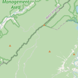
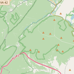
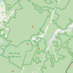
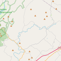
Locationbig map

| UTM (WGS84 Datum) | 17S E 600338 N 4184464 |
|---|---|
| Decimal Degrees | 37.80205000, -79.86023333 |
| Degrees and Decimal Minutes | N 37° 48.123', W 79° 51.614' |
| Degrees, Minutes and Seconds | 37° 48' 7.38" N, 79° 51' 36.84" W |
| Driving Directions | Google Maps |
| Area Code(s) | 540 |
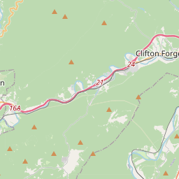
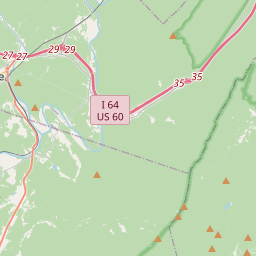
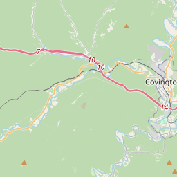
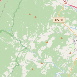
| Closest Postal Address | At or near 6879 State Rte 696, Clifton Forge VA 24422, US |
| Alternative Maps | Google Maps, MapQuest, Bing Maps, Yahoo Maps, MSR Maps, OpenCycleMap, MyTopo Maps, OpenStreetMap |
Is this marker missing? Are the coordinates wrong? Do you have additional information that you would like to share with us? If so, check in.
Nearby Markersshow on map
Show me all markers in: Clifton Forge, VA | Alleghany County | 24422 | Virginia | United States of America
Maintenance Issues
- Is this marker part of a series?
- What historical period does the marker represent?
- What historical place does the marker represent?
- What type of marker is it?
- What class is the marker?
- What style is the marker?
- Does the marker have a number?
- What year was the marker erected?
- Who or what organization placed the marker?
- This marker needs at least one picture.
- Can this marker be seen from the road?
- Is the marker in the median?
Comments 0 comments