Inscription
1861-1865
Libby Prison, one of the most notorious prisons of the Civil War, housed mostly Union officers. It was located at the southeast corner of 20th and Cary streets (the doorway in the floodwall is at 20th, and the wall runs through the site of the building). Its appalling conditions — overcrowding, lack of sanitation and rampant disease — were chronicled by numerous inmates, including Robert Sneden, a Union soldier, who wrote that the prisoners "walk up and down, ragged, shoeless and crawling with vermin." It is estimated that 40,000 to 50,000 prisoners of war came through Libby during the Civil War. Usually after a short stay, they were transferred to larger prisons, such as Belle Isle or Andersonville. In 1889, the building was disassembled and rebuilt in Chicago as a Civil War museum.Prisons and Hospitals
During the Civil War, the Union naval blockade closed many Richmond businesses, such as tobacco factories, that depended on trade. Once fighting began in 1861, dormant factories and warehouses were taken over for hospitals and prisons. A prison hospital was set up in Seabrook's Warehouse on 17th Street. Castle Thunder (between 18th and 19th streets) and its neighbor CastleLightning, both tobacco warehouses, served as prisons. The first was used for civilian criminals: murderers, thieves and the like. Castle Lightning held Confederate deserters and soldiers who had committed crimes.
Details
| HM Number | HMVXK |
|---|---|
| Tags | |
| Year Placed | 2011 |
| Placed By | Virginia Capital Trail |
| Marker Condition | No reports yet |
| Date Added | Saturday, October 4th, 2014 at 11:50am PDT -07:00 |
Pictures
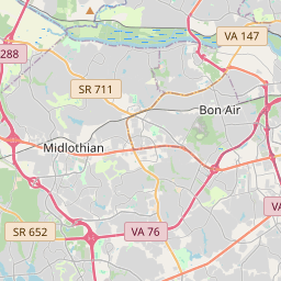
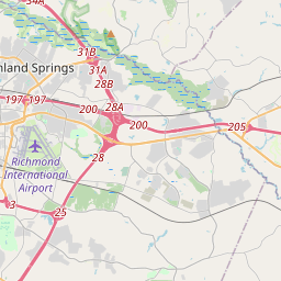
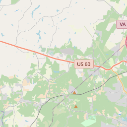
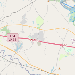
Locationbig map


| UTM (WGS84 Datum) | 18S E 285539 N 4156509 |
|---|---|
| Decimal Degrees | 37.53065000, -77.42710000 |
| Degrees and Decimal Minutes | N 37° 31.839', W 77° 25.626' |
| Degrees, Minutes and Seconds | 37° 31' 50.34" N, 77° 25' 37.56" W |
| Driving Directions | Google Maps |
| Area Code(s) | 757, 804 |
| Closest Postal Address | At or near 100 Virginia Capital Trail, Richmond VA 23223, US |
| Alternative Maps | Google Maps, MapQuest, Bing Maps, Yahoo Maps, MSR Maps, OpenCycleMap, MyTopo Maps, OpenStreetMap |
Is this marker missing? Are the coordinates wrong? Do you have additional information that you would like to share with us? If so, check in.
Nearby Markersshow on map
Maintenance Issues
- Is this marker part of a series?
- What historical period does the marker represent?
- What historical place does the marker represent?
- What type of marker is it?
- What class is the marker?
- What style is the marker?
- Does the marker have a number?
- This marker needs at least one picture.
- Can this marker be seen from the road?
- Is the marker in the median?
Comments 0 comments