Inscription
1630 - 1930
Ten rods east stood thehouse of Benjamin Goodrichwho, with his wife and twochildren, was slain by theIndians on October 23, 1692Details
| HM Number | HMW8U |
|---|---|
| Series | This marker is part of the Massachusetts: Massachusetts Bay Colony—Tercentenary Commission Markers series |
| Tags | |
| Year Placed | 1930 |
| Placed By | Massachusetts Bay Colony-Tercentenary Commission |
| Marker Condition | 0 out of 10 (1 reports) |
| Date Added | Monday, September 1st, 2014 at 3:58am PDT -07:00 |
Pictures
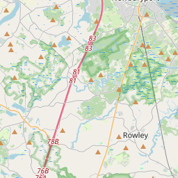
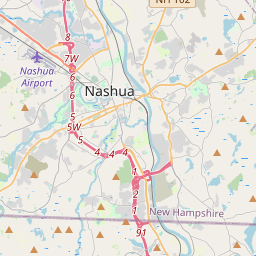
Locationbig map


| UTM (WGS84 Datum) | 19T E 339645 N 4734151 |
|---|---|
| Decimal Degrees | 42.74313333, -70.95916667 |
| Degrees and Decimal Minutes | N 42° 44.588', W 70° 57.55' |
| Degrees, Minutes and Seconds | 42° 44' 35.28" N, 70° 57' 33.00" W |
| Driving Directions | Google Maps |
| Area Code(s) | 978 |
| Closest Postal Address | At or near 446 North St, Georgetown MA 01833, US |
| Alternative Maps | Google Maps, MapQuest, Bing Maps, Yahoo Maps, MSR Maps, OpenCycleMap, MyTopo Maps, OpenStreetMap |
Is this marker missing? Are the coordinates wrong? Do you have additional information that you would like to share with us? If so, check in.
Nearby Markersshow on map
Show me all markers in: Georgetown, MA | Essex County | 01833 | Massachusetts | United States of America
First Fulling Mill
Rowley Massachusetts Confederate War Memorial Historical
Rowley Massachusetts Revolutionary War Memorial, a War Memorial
Rowley Burial Ground
Rowley Massachusetts Viet Nam Honor Roll Memorial, a War Memorial
Rowley Massachusetts Korean War Honor Roll Memorial, a War Memorial
Rowley Massachusetts World War II Honor Roll, a War Memorial
Maximilian and Joseph Jewett
Rowley Massachusetts World War I Honor Roll Historical
Newbury
Maintenance Issues
- What historical period does the marker represent?
- What historical place does the marker represent?
- What type of marker is it?
- What class is the marker?
- What style is the marker?
- Does the marker have a number?
- This marker needs at least one picture.
- Can this marker be seen from the road?
- Is the marker in the median?
Comments 0 comments