Inscription
In 1807 Jesse Hawley, a prisoner in the Canandaigua jail, wrote a series of essays proposing a waterway from Lake Erie to the Atlantic Ocean. Following the War of 1812 the settling of western New York and Ohio resulted in an increased demand for improved transportation to carry manufactured goods and produce to and from the west. Unde rthe sponsorship of DeWitt Clinton, the state legislature approved an artificail waterway. On July 4th, 1817 construction began in Rome, and on October 26, 1825 the packet boat "Seneca Chief" traveled from Buffalo to Sandy Hook accompanied by the roar of cannons along the route. Within 10 years over 3000 boats worked the canal. Fast packet boats carrying passengers overtook heavily ladened freighters and line boats carrying mixed cargo. Travel time between Buffalo and New York was reduced from 6 weeks to 10 days. The canal operated 7 to 9 months of the year, 24 hours a day, with a meximum speed limit of 4 miles an hour. By 1835 increased traffic made it necessary to widen the canal to 70 feet. As part of the continuing construction, the Centreport Aqueduct was built in 1854 to carry the canal over Cold Spring Brook. The improved Erie Canal brought increased prosperity to the area that it served. Businessmen, tourists and immigrants moved west with manufactured goods, while grain, coal, lumber and other raw materials traveled east. In 1917 the Erie Canal was replaced by the New York State Barge Canal System and an important era of New York State history came to an end. The Erie Canal was the most ambitious public works project of its time and led to the canal movement at a national level. By the beginning of the Civil War, the agricultural Mid-West and the Industrial East were politically and economically joined and New York was cast in its role as the "Empire State".
Details
| HM Number | HM1KQO |
|---|---|
| Series | This marker is part of the Erie Canal series |
| Tags | |
| Marker Condition | No reports yet |
| Date Added | Monday, May 25th, 2015 at 2:01pm PDT -07:00 |
Pictures
Locationbig map
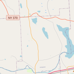

| UTM (WGS84 Datum) | 18T E 371637 N 4766813 |
|---|---|
| Decimal Degrees | 43.04316667, -76.57593333 |
| Degrees and Decimal Minutes | N 43° 2.59', W 76° 34.556' |
| Degrees, Minutes and Seconds | 43° 2' 35.4" N, 76° 34' 33.36" W |
| Driving Directions | Google Maps |
| Area Code(s) | 315 |
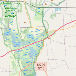
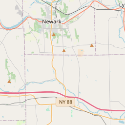
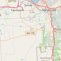
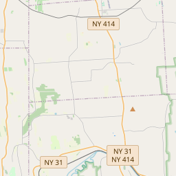
| Closest Postal Address | At or near 2490 State Hwy 31, Weedsport NY 13166, US |
| Alternative Maps | Google Maps, MapQuest, Bing Maps, Yahoo Maps, MSR Maps, OpenCycleMap, MyTopo Maps, OpenStreetMap |
Is this marker missing? Are the coordinates wrong? Do you have additional information that you would like to share with us? If so, check in.
Maintenance Issues
- What historical period does the marker represent?
- What historical place does the marker represent?
- What type of marker is it?
- What class is the marker?
- What style is the marker?
- Does the marker have a number?
- What year was the marker erected?
- Who or what organization placed the marker?
- This marker needs at least one picture.
- Can this marker be seen from the road?
- Is the marker in the median?
Comments 0 comments