Inscription
The Corps of Discovery descended the Columbia River in five dugout canoes made from pines felled at the mouth of the North Fork of the Clearwater River in Idaho.
Before McNary Dam harnessed this segment of the mighty Columbia, the river plunged through the fierce Umatilla Rapids. William Clark observed
"banks of Mussle Shels" here and called it "Muscle Shell rapid."
While the canoes carefully shot the rapids, Clark climbed a nearby cliff and "descovered a high mountain of emence hight covered with Snow," which he incorrectly identified as Mt. St. Helens - it was actually Mt. Adams.
On a clear day Mt. Adams is visible to the northwest from this overlook.
Sighting the snow-capped peaks of the Cascade Range, some of which were named by George Vancouver in 1792, indicated the expedition was approaching charted territory.
"We arrived at the head of a verry bad rapid, we came too on the Lard Side to view the rapid before we would venter to run it..."
William Clark, October 19, 1805
Details
| HM Number | HM25I1 |
|---|---|
| Series | This marker is part of the Lewis & Clark Expedition series |
| Tags | |
| Placed By | Lewis and Clark National Historic Trail |
| Marker Condition | No reports yet |
| Date Added | Wednesday, February 14th, 2018 at 10:01pm PST -08:00 |
Pictures
Locationbig map


| UTM (WGS84 Datum) | 31N E 166021 N 0 |
|---|---|
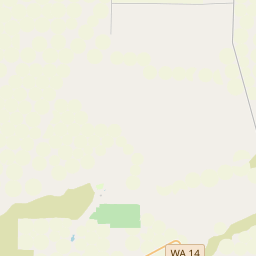
| Decimal Degrees | 45.92011667, -119.30483333 |
| Degrees and Decimal Minutes | N 45° 55.207', W 119° 18.29' |
| Degrees, Minutes and Seconds | 45° 55' 12.42" N, 119° 18' 17.4" W |
| Driving Directions | Google Maps |
| Area Code(s) | 541 |
| Which side of the road? | Marker is on the right when traveling South |
| Closest Postal Address | At or near Devore Rd, Umatilla OR 97882, US |
| Alternative Maps | Google Maps, MapQuest, Bing Maps, Yahoo Maps, MSR Maps, OpenCycleMap, MyTopo Maps, OpenStreetMap |
Is this marker missing? Are the coordinates wrong? Do you have additional information that you would like to share with us? If so, check in.
Nearby Markersshow on map
Maintenance Issues
- What historical period does the marker represent?
- What historical place does the marker represent?
- What type of marker is it?
- What class is the marker?
- What style is the marker?
- Does the marker have a number?
- What year was the marker erected?
- This marker needs at least one picture.
- Can this marker be seen from the road?
- Is the marker in the median?

Comments 0 comments