Inscription
The Civil War in Culpeper County
On June 9, 1863, the Civil War visited the river fords, farmer's fields and rolling hills near Brandy Station. During the intense daylong fighting that swirled all around the little town, Confederate and Union horsemen clashed in the largest cavalry battle of the war. By nightfall, the Union cavalrymen had finally proved that they could match the legendary skills of the Southern horsemen. The Battle of Brandy Station failed to stop Robert E. Lee's invasion of the North that summer, though it did delay the onset of his march towards the climactic Battle of Gettysburg in early July.Culpeper County saw a great deal of activity during the Civil War. In addition to the Battle of Cedar Mountain (August 9, 1862), the Union and Confederate armies passed through here many times in 1862 and 1863. In December 1863, the Federal Army of the Potomac established winter quarters in Culpeper County, not leaving until May 4, 1864.
The driving tour route displayed will take you to the most important sites connected with the Battle of Brandy Station. Outdoor exhibits like this one will provide information on the battle. There are also three exhibits that focus on the 1863-1864 winter encampment of the Union Army. A tour brochure with driving directions and some additional historic information is available from the Civil War Preservation Trust (call 1-888-606-1400), from the Brandy Station Foundation Visitors Center in Brandy Station or from the Museum of Culpeper History located at 803 South Main Street in Culpeper. (Take Route 29 south to the first Culpeper exit.)
Help Preserve Battlefields · call CWPT at 1-888-606-1400 · www.civilwar.org · The Hallowell Foundation generously contributed toward the interpretation of this site in memory of Carrington Williams.
This material is based upon work assisted by a grant from the Department of the Interior, National Park Service. Any opinion, findings and conclusions or recommendations expressed in this material are those of the author(s) and do not necessarily reflect the views of the Department of the Interior.
Details
| HM Number | HM2CG |
|---|---|
| Series | This marker is part of the Battlefield Trails - Civil War series |
| Tags | |
| Placed By | Civil War Preservation Trust |
| Marker Condition | No reports yet |
| Date Added | Thursday, September 11th, 2014 at 3:01am PDT -07:00 |
Pictures
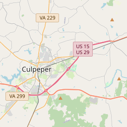
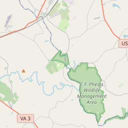
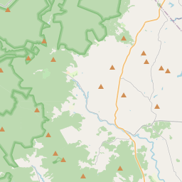
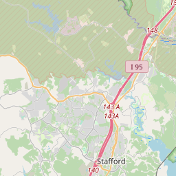
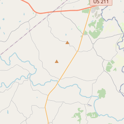
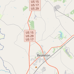
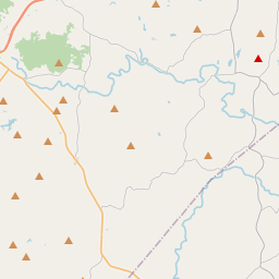
Locationbig map

| UTM (WGS84 Datum) | 18S E 250902 N 4268825 |
|---|---|
| Decimal Degrees | 38.53298333, -77.85773333 |
| Degrees and Decimal Minutes | N 38° 31.979', W 77° 51.464' |
| Degrees, Minutes and Seconds | 38° 31' 58.74" N, 77° 51' 27.84" W |
| Driving Directions | Google Maps |
| Area Code(s) | 540 |
| Closest Postal Address | At or near 15 State Rte 677, Elkwood VA 22718, US |
| Alternative Maps | Google Maps, MapQuest, Bing Maps, Yahoo Maps, MSR Maps, OpenCycleMap, MyTopo Maps, OpenStreetMap |
Is this marker missing? Are the coordinates wrong? Do you have additional information that you would like to share with us? If so, check in.
Nearby Markersshow on map
Maintenance Issues
- What historical period does the marker represent?
- What historical place does the marker represent?
- What type of marker is it?
- What class is the marker?
- What style is the marker?
- Does the marker have a number?
- What year was the marker erected?
- This marker needs at least one picture.
- Can this marker be seen from the road?
- Is the marker in the median?
Comments 0 comments