Inscription
Remembering a Grand Age
Sykesville architect J. Harvey Fowble built this home in 1883 for Irish immigrant John McDonald and his wife Kate. A successful businessman, McDonald owned a dry goods store on Main Street. A succession of prominent families resided here until 1968, when the building was sold to the Town of Sykesville.The home's design reflects the Colonial Revival style of architecture popular after the Civil War. Accented by a rolling lawn, large trees, and a pond, this elegant home presided over Main Street. In the scene below, citizens celebrate a patriotic event in front of the house, complete with a fire engine and crew.
[Captions:]
J.H. Fowble also designed much of Main Street, including the red-brick First National Bank (above left), the Greenberg/Arcade Building, the McDonald Block, and both Warfield Buildings. He built the Inn at Norwood for his family residence.
This handsome staircase attests to solid American design and craftsmanship.
The house retains many refined features such as tile-decorated fireplaces.
Most Haunted Place in Maryland?
Visitors and town hall employees have reported odd happenings—the lingering scent of cigar smoke, footsteps in the attic, icy drafts on the back of the neck, and sounds of running water.
Details
| HM Number | HM2GW8 |
|---|---|
| Tags | |
| Placed By | Maryland Heritage Area Authority, Maryland Main Street, Sykesville Main Street |
| Marker Condition | No reports yet |
| Date Added | Sunday, May 19th, 2019 at 8:02am PDT -07:00 |
Pictures
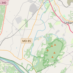
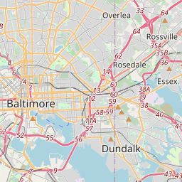
Locationbig map


| UTM (WGS84 Datum) | 18S E 330359 N 4359201 |
|---|---|
| Decimal Degrees | 39.36563333, -76.96918333 |
| Degrees and Decimal Minutes | N 39° 21.938', W 76° 58.151' |
| Degrees, Minutes and Seconds | 39° 21' 56.28" N, 76° 58' 9.0600000000002" W |
| Driving Directions | Google Maps |
| Which side of the road? | Marker is on the right when traveling North |
| Closest Postal Address | At or near , , |
| Alternative Maps | Google Maps, MapQuest, Bing Maps, Yahoo Maps, MSR Maps, OpenCycleMap, MyTopo Maps, OpenStreetMap |
Is this marker missing? Are the coordinates wrong? Do you have additional information that you would like to share with us? If so, check in.
Nearby Markersshow on map
Maintenance Issues
- What country is the marker located in?
- Is this marker part of a series?
- What historical period does the marker represent?
- What historical place does the marker represent?
- What type of marker is it?
- What class is the marker?
- What style is the marker?
- Does the marker have a number?
- What year was the marker erected?
- This marker needs at least one picture.
- Can this marker be seen from the road?
- Is the marker in the median?
Comments 0 comments