Inscription
Capturing Joe Hooker
— Gettysburg Campaign —
In June 1863, as Gen. Robert E. Lee and the Army of Northern Virginia marched north, Gen. J.E.B. Stuart's Confederate cavalry rode east of the main army. Soon, Federal cavalry hunted Stuart. Before dawn on June 29, several former area residents guided Stuart's column north from Cooksville. At Old Frederick Road (present-day State Rte. 99) the force divided, and elements ranged east to Sykesville and Marriottsville.Gen. Fitzhugh Lee's brigade continued north on Washington Road to Hood's Mill and occupied the Baltimore and Ohio Railroad there, cutting telegraph lines to disrupt communications between Frederick and Washington. Stuart soon learned that Gen. Joseph Hooker had been relieved of command of the Army of the Potomac the day before at Frederick and might return to Washington on a special train about 10:30 a.m. that day. The Confederates burned a small wooden bridge over Piney Branch about half a mile east of Hood's Mill and tore up several sections of track to stop the train and capture Hooker. An alert engineer on an earlier train spotted them, however, and backed up to Frederick to warn Hooker, thereby thwarting the scheme.
Details
| HM Number | HM90A |
|---|---|
| Tags | |
| Placed By | Maryland Civil War Trails |
| Marker Condition | No reports yet |
| Date Added | Saturday, September 27th, 2014 at 2:55am PDT -07:00 |
Pictures
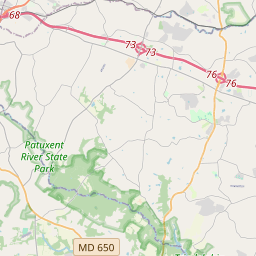
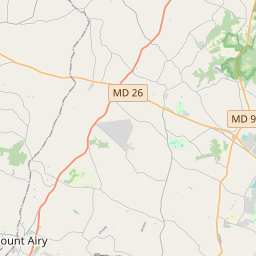
Locationbig map


| UTM (WGS84 Datum) | 18S E 330378 N 4359066 |
|---|---|
| Decimal Degrees | 39.36441667, -76.96893333 |
| Degrees and Decimal Minutes | N 39° 21.865', W 76° 58.136' |
| Degrees, Minutes and Seconds | 39° 21' 51.90" N, 76° 58' 8.16" W |
| Driving Directions | Google Maps |
| Area Code(s) | 410, 301, 443 |
| Closest Postal Address | At or near 7500-7598 A St, Sykesville MD 21784, US |
| Alternative Maps | Google Maps, MapQuest, Bing Maps, Yahoo Maps, MSR Maps, OpenCycleMap, MyTopo Maps, OpenStreetMap |
Is this marker missing? Are the coordinates wrong? Do you have additional information that you would like to share with us? If so, check in.
Nearby Markersshow on map
Show me all markers in: Sykesville, MD | Carroll County | 21784 | Maryland | United States of America
Maintenance Issues
- Is this marker part of a series?
- What historical period does the marker represent?
- What historical place does the marker represent?
- What type of marker is it?
- What class is the marker?
- What style is the marker?
- Does the marker have a number?
- What year was the marker erected?
- This marker needs at least one picture.
- Can this marker be seen from the road?
- Is the marker in the median?

Comments 0 comments